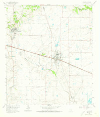
1960 Map of Waller
USGS Topo · Published 1973About this map
Prairie View A & M College serves as a prominent educational landmark in this southeast Texas landscape, situated just west of the larger settlement at Waller. The area is defined by the boundary between Waller County and Harris County, where agricultural lands are bisected by significant transportation corridors. The Texas and New Orleans and Southern Pacific railroad lines dominate the central east-west axis, facilitating the movement of goods through this rural prairie.
Find a feature on this map
25 named features on this map. Tap any name to fly to it.
Don’t see what you’re looking for? This feature index may not catch every label — zoom into the map to look around manually.
Map Details
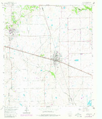
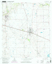
Editions of this 1960 Waller Map
4 editions found

Other maps of this area

1916 · Hockley
USGS Topo · 1:24,000

1916 · Swanson
USGS Topo · 1:24,000

1919 · Swanson
USGS Topo · 1:31,680

1920 · Hockley
USGS Topo · 1:31,680

1920 · Waller
USGS Topo · 1:31,680

1950 · Houston
USGS Topo · 1:250,000

1953 · Seguin
USGS Topo · 1:250,000

1954 · Beaumont
USGS Topo · 1:250,000

1954 · Austin
USGS Topo · 1:250,000

1955 · Brookshire
USGS Topo · 1:62,500