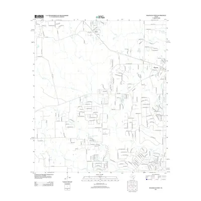
2013 Map of Magnolia West
USGS Topo · Published 2013About this map
Magnolia and the nearby settlement of Fetzer define the residential and rural character of this Montgomery County landscape. The area is heavily defined by a branching network of watercourses, including Mill Cr, Walnut Cr, and Threemile Cr, which navigate the terrain alongside several established water bodies like Lake Hollyhill and Club Lakeview Lake. These drainages historically influenced local land divisions and the placement of early transportation routes.
Find a feature on this map
210 named features on this map. Tap any name to fly to it.
Don’t see what you’re looking for? This feature index may not catch every label — zoom into the map to look around manually.
Map Details
Editions of this 2013 Magnolia West Map
This is the sole edition of this map. No revisions or reprints were ever made.
Other maps of this area

1916 · Rose Hill
USGS Topo · 1:24,000

1916 · Hockley
USGS Topo · 1:24,000

1920 · Hockley
USGS Topo · 1:31,680

1920 · Rose Hill
USGS Topo · 1:31,680

1920 · Waller
USGS Topo · 1:31,680

1954 · Beaumont
USGS Topo · 1:250,000

1957 · Beaumont
USGS Topo · 1:250,000

1960 · Waller
USGS Topo · 1:24,000

1960 · Waller NW
USGS Topo · 1:24,000

1961 · Stoneham
USGS Topo · 1:24,000