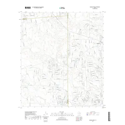
2019 Map of Magnolia West
USGS Topo · Published 2019About this map
The town of Magnolia and its western outskirts are documented here at the convergence of Montgomery, Waller, and Grimes counties. This landscape is defined by its intricate drainage network, where Mill Cr and Birch Cr carve through the northern terrain while Threemile Cr and Brushy Cr dominate the south. These watercourses have long dictated the placement of homesteads and modern developments, such as the numerous residential loops and forest tracts that have expanded outward from the core settlement.
Find a feature on this map
191 named features on this map. Tap any name to fly to it.
Don’t see what you’re looking for? This feature index may not catch every label — zoom into the map to look around manually.
Map Details
Editions of this 2019 Magnolia West Map
This is the sole edition of this map. No revisions or reprints were ever made.
Other maps of this area

1916 · Rose Hill
USGS Topo · 1:24,000

1916 · Hockley
USGS Topo · 1:24,000

1920 · Hockley
USGS Topo · 1:31,680

1920 · Rose Hill
USGS Topo · 1:31,680

1920 · Waller
USGS Topo · 1:31,680

1954 · Beaumont
USGS Topo · 1:250,000

1957 · Beaumont
USGS Topo · 1:250,000

1960 · Waller
USGS Topo · 1:24,000

1960 · Waller NW
USGS Topo · 1:24,000

1961 · Stoneham
USGS Topo · 1:24,000