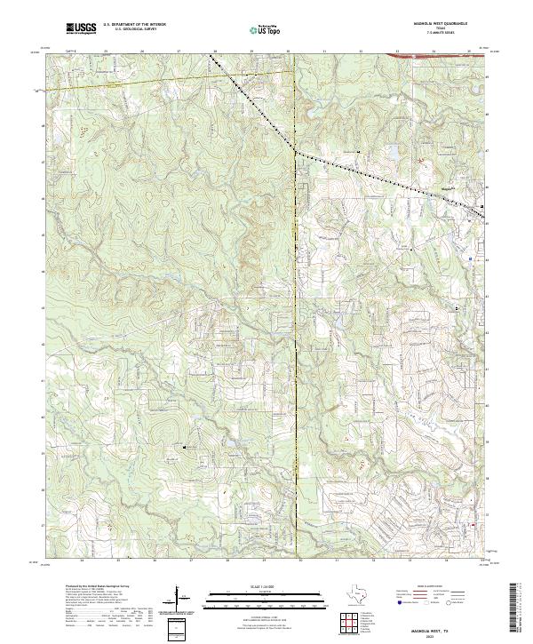
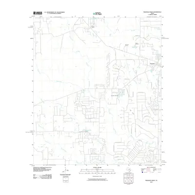
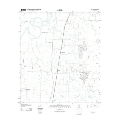
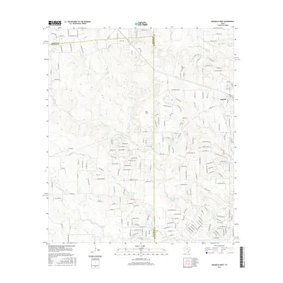
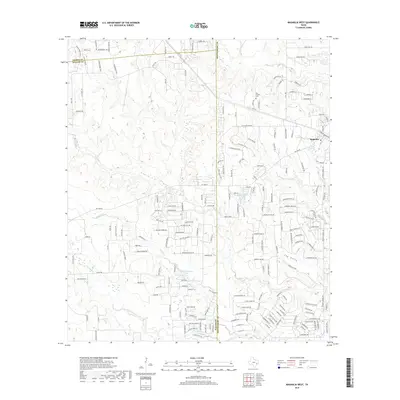
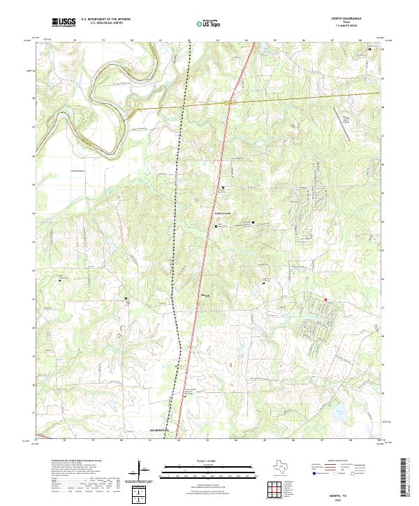
2023 Map of Magnolia West
USGS Topo · Published 2023About this map
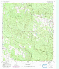
The town of Magnolia serves as the focal point for this survey of the East Texas piney woods and coastal prairie transition. This 2023 map documents the intense residential expansion pushing westward from the town center along FM 1488 Rd and Magnolia Blvd. Local history and genealogy are well-represented by a high density of family and community burial grounds, including the Magnolia Cem, Sanders Cem, and Turner - Thomas Cem.
Find a feature on this map
97 named features on this map. Tap any name to fly to it.
Don’t see what you’re looking for? This feature index may not catch every label — zoom into the map to look around manually.
Map Details
Editions of this 2023 Magnolia West Map
This is the sole edition of this map. No revisions or reprints were ever made.
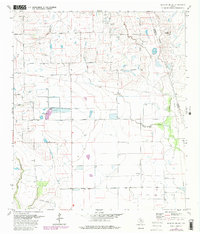
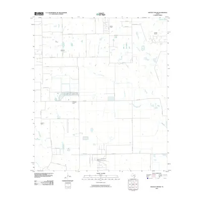
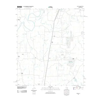
Historical Maps of Magnolia Through Time
30 maps found
1960 Sunny Side
Waller County, TX
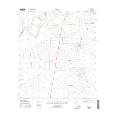
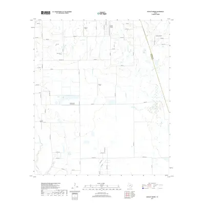
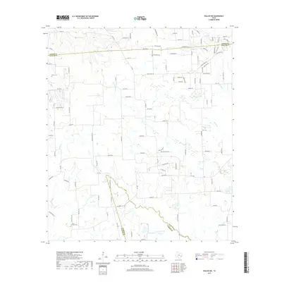
1960 Waller NW
Waller County, TX
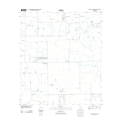
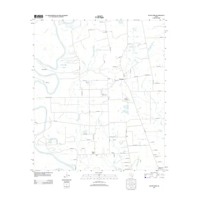
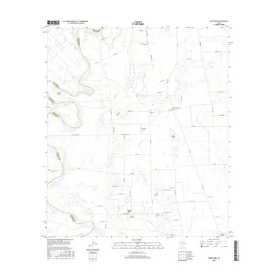
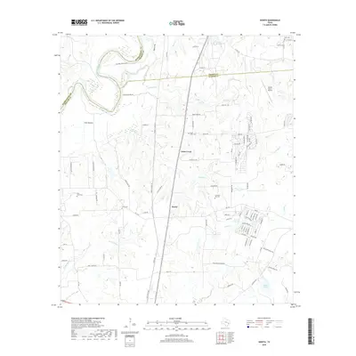
1961 Howth
Waller County, TX
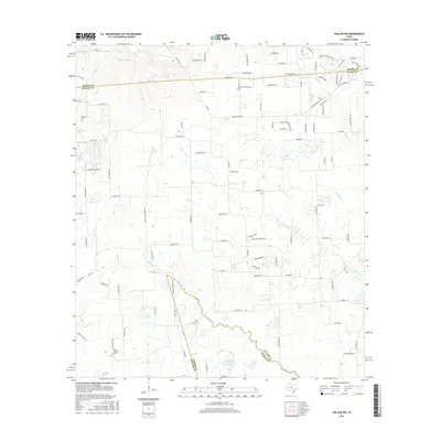
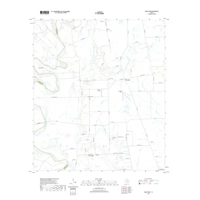
1962 Magnolia West
Waller County, TX
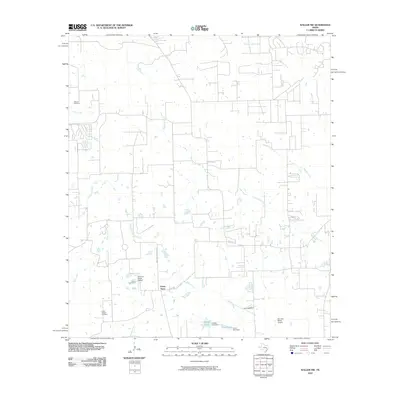
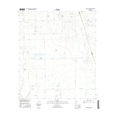
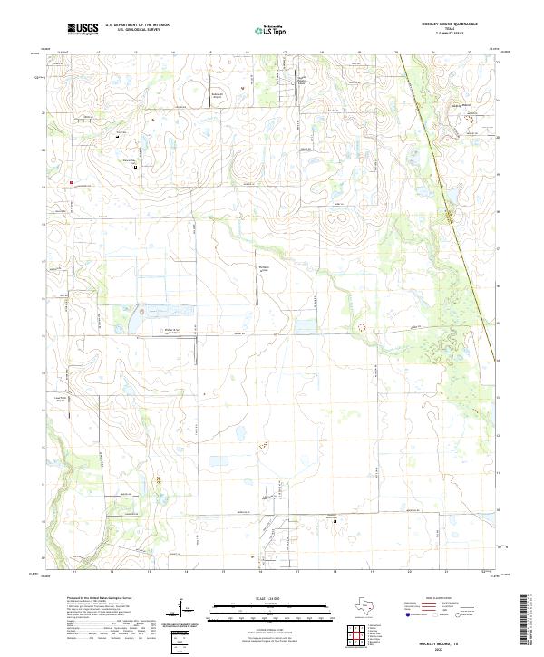
1971 Hockley Mound
Waller County, TX
2010 Hockley Mound
Waller County, TX
2010 Howth
Waller County, TX
2010 Magnolia West
Waller County, TX
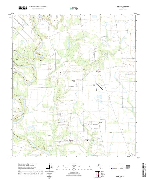
2010 Sunny Side
Waller County, TX
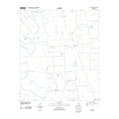
2010 Waller NW
Waller County, TX
2013 Hockley Mound
Waller County, TX
2013 Howth
Waller County, TX
2013 Magnolia West
Waller County, TX
2013 Sunny Side
Waller County, TX
2013 Waller NW
Waller County, TX
2016 Hockley Mound
Waller County, TX
2016 Howth
Waller County, TX
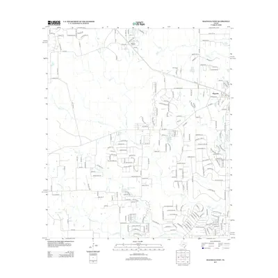
2016 Magnolia West
Waller County, TX
2016 Sunny Side
Waller County, TX
2016 Waller NW
Waller County, TX
2019 Hockley Mound
Waller County, TX
2019 Howth
Waller County, TX
2019 Magnolia West
Waller County, TX
2019 Sunny Side
Waller County, TX
2019 Waller NW
Waller County, TX
2022 Hockley Mound
Waller County, TX
2022 Howth
Waller County, TX
2022 Sunny Side
Waller County, TX
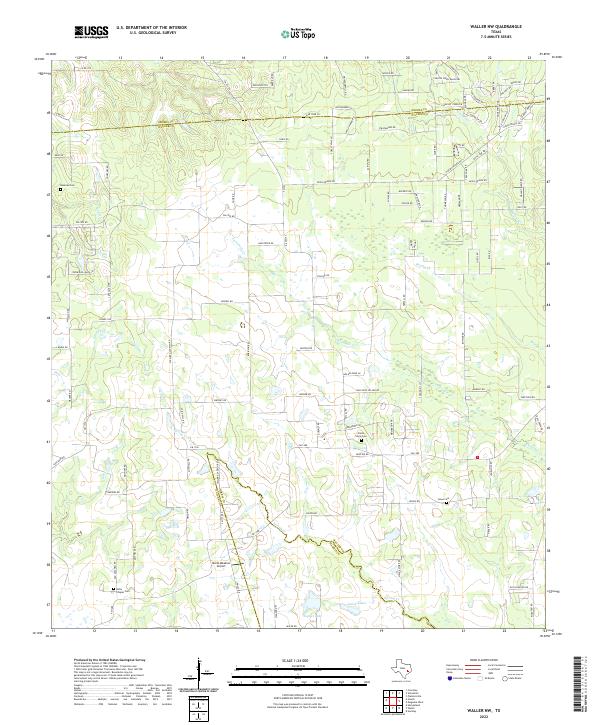
2022 Waller NW
Waller County, TX
2023 Magnolia West
Waller County, TX