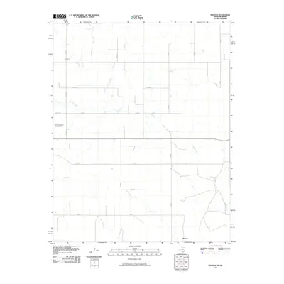
2010 Map of Magoun
USGS Topo · Published 2010About this map
Ivanhoe Creek meanders through the high plains of the Texas Panhandle in this landscape defined by the rigid geometry of the section-line road system. The map captures the quiet character of Lipscomb County, where the small settlement of Magoun sits amidst a network of county roads including Co RD 28 and Co RD 24. Near the northern border with Oklahoma, the Fairmont Cemetery serves as a vital anchor for local genealogical research, marking the generations of families who worked this land. In the western portion of the quadrangle, the Follett/Lipscomb County Airport and FM 1454 provide the primary links between this agricultural interior and the wider region, illustrating the modern infrastructure required to sustain such a specialized rural economy.
Find a feature on this map
20 named features on this map. Tap any name to fly to it.
Don’t see what you’re looking for? This feature index may not catch every label — zoom into the map to look around manually.
Map Details
Editions of this 2010 Magoun Map
This is the sole edition of this map. No revisions or reprints were ever made.
Other maps of this area

1954 · Perryton
USGS Topo · 1:250,000

1955 · Woodward
USGS Topo · 1:250,000

1958 · Perryton
USGS Topo · 1:250,000

1958 · Woodward
USGS Topo · 1:250,000

1969 · Shattuck
USGS Topo · 1:24,000

1969 · Shattuck NW
USGS Topo · 1:24,000

1970 · Laverne SW
USGS Topo · 1:24,000

1971 · Logan
USGS Topo · 1:24,000

1971 · Slapout
USGS Topo · 1:24,000

1972 · Follett SE
USGS Topo · 1:24,000