2022 Map of Mahnomen
USGS Topo · Published 2022About this map
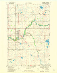
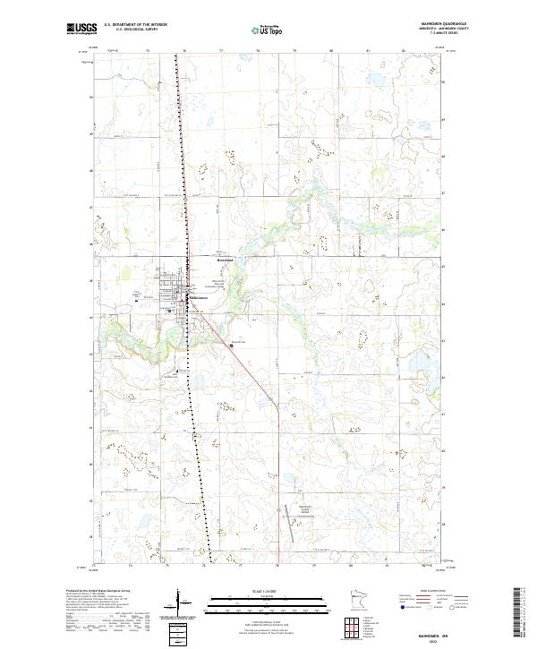
Mahnomen serves as the focal point of this Northwest Minnesota survey, where the Wild Rice River meanders through a landscape defined by its civic and educational institutions. The seat of local government is clearly marked by the Mahnomen County Courthouse, while the presence of the White Earth Tribal and Community College signals the importance of the White Earth Reservation's cultural and academic life. To the south, the White Earth River and Whiskey Cr carve through the glacial terrain, providing a natural drainage system for the surrounding farmland.
Find a feature on this map
37 named features on this map. Tap any name to fly to it.
Don’t see what you’re looking for? This feature index may not catch every label — zoom into the map to look around manually.
Map Details
Editions of this 2022 Mahnomen Map
This is the sole edition of this map. No revisions or reprints were ever made.
Historical Maps of Mahnomen Through Time
6 maps found