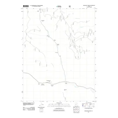
2011 Map of Mahogany Point
USGS Topo · Published 2011About this map
Cottonwood Creek carves a deep path through this section of Emery County, Utah, serving as the central drainage for a landscape defined by dramatic canyons and industrial heritage. The map documents a significant intersection of natural terrain and resource extraction, notably at the Coal Mining Monument Point of Ineterst situated near the southern canyon reaches. This area is historically linked to regional energy production, evidenced by the presence of the Trail Mountain Mine, Oliphant Mine, and Black Diamond Mine.
Find a feature on this map
22 named features on this map. Tap any name to fly to it.
Don’t see what you’re looking for? This feature index may not catch every label — zoom into the map to look around manually.
Map Details
Editions of this 2011 Mahogany Point Map
This is the sole edition of this map. No revisions or reprints were ever made.
Other maps of this area

1885 · Manti
USGS Topo · 1:250,000

1895 · Manti
USGS Topo · 1:250,000

1922 · Wasatch
USGS Topo · 1:31,680

1923 · Castle Dale
USGS Topo · 1:62,500

1923 · Hiawatha
USGS Topo · 1:62,500

1925 · Castle Dale
USGS Topo · 1:62,500

1925 · Hiawatha
USGS Topo · 1:62,500

1956 · Price
USGS Topo · 1:250,000

1960 · Price
USGS Topo · 1:250,000

1962 · Price
USGS Topo · 1:250,000