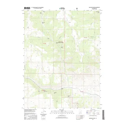
2017 Map of Mahogany Point
USGS Topo · Published 2017About this map
The Manti-Lasal National Forest dominates this high-elevation landscape in Emery County, Utah, where deep drainages like Trail Canyon and Roans Canyon carve through the plateau. This 2017 survey details the complex network of ridges and basins, including the prominent Mahogany Point and the high summit of Trail Mtn. Historically significant infrastructure is visible in the CCC Trail - Trail Mtn, reflecting the legacy of New Deal-era conservation labor in the American West.
Find a feature on this map
31 named features on this map. Tap any name to fly to it.
Don’t see what you’re looking for? This feature index may not catch every label — zoom into the map to look around manually.
Map Details
Editions of this 2017 Mahogany Point Map
This is the sole edition of this map. No revisions or reprints were ever made.
Other maps of this area

1885 · Manti
USGS Topo · 1:250,000

1895 · Manti
USGS Topo · 1:250,000

1922 · Wasatch
USGS Topo · 1:31,680

1923 · Castle Dale
USGS Topo · 1:62,500

1923 · Hiawatha
USGS Topo · 1:62,500

1925 · Castle Dale
USGS Topo · 1:62,500

1925 · Hiawatha
USGS Topo · 1:62,500

1956 · Price
USGS Topo · 1:250,000

1960 · Price
USGS Topo · 1:250,000

1962 · Price
USGS Topo · 1:250,000