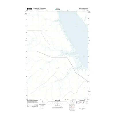
2012 Map of Mahto NE
USGS Topo · Published 2012About this map
Lake Oahe dominates the eastern landscape of this northern South Dakota region, where the Missouri River's impoundment has reshaped the local geography. The map documents a network of named drainages that feed into the reservoir from the west, including Fireheart Cr, Joe Bush Cr, and Blackfoot Cr. These watercourses reflect the traditional naming conventions of the area, providing a geographical record of the drainage patterns in the Kenel District before further environmental shifts. Following the contours of the shoreline, the presence of 1806 represents the primary transportation corridor through this prairie terrain, connecting the dispersed ranchlands and rural homesteads that rely on the seasonal flows of Baldhead Cr and Hunkpapa Cr.
Find a feature on this map
7 named features on this map. Tap any name to fly to it.
Don’t see what you’re looking for? This feature index may not catch every label — zoom into the map to look around manually.
Map Details
Editions of this 2012 Mahto NE Map
This is the sole edition of this map. No revisions or reprints were ever made.
Other maps of this area

1953 · McIntosh
USGS Topo · 1:250,000

1954 · Bismarck
USGS Topo · 1:250,000

1958 · Bismarck
USGS Topo · 1:250,000

1958 · McIntosh
USGS Topo · 1:250,000

1966 · Mahto NE
USGS Topo · 1:24,000

1966 · Mahto
USGS Topo · 1:24,000

1966 · Kenel
USGS Topo · 1:24,000

1966 · Mahto NW
USGS Topo · 1:24,000

1966 · Kline Buttes
USGS Topo · 1:24,000

1966 · Pollock NW
USGS Topo · 1:24,000