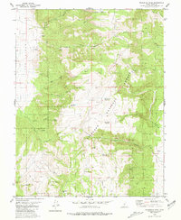
1980 Map of Mahustan Peak
USGS Topo · Published 1981About this map
Fishlake National Forest dominates this 1980 survey, revealing a landscape defined by water management and high-altitude topography. The map illustrates a network of small, specialized water catchments, including Hell Hole Reservoir, Tuft Reservoir, and Dead Horse Reservoir, which highlight the critical role of moisture control in this arid environment. Significant elevation markers like Mahustan Peak and the Twin Peaks anchor the southern reach of the quadrangle, while the terrain is deeply incised by drainages such as Cottonwood Canyon and Tibadore Canyon. Sparse human activity is evident through scattered prospects and a network of jeep trails that navigate the slopes. The naming conventions, from Sevy Spring to Forshea Spring, suggest the historical presence of early ranching families or surveyors who once navigated these high Utah ridges.
Find a feature on this map
35 named features on this map. Tap any name to fly to it.
Don’t see what you’re looking for? This feature index may not catch every label — zoom into the map to look around manually.
Map Details
Editions of this 1980 Mahustan Peak Map
2 editions found
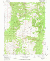
Other maps of this area

1885 · Beaver
USGS Topo · 1:250,000

1885 · Fish Lake
USGS Topo · 1:250,000

1896 · Fish Lake
USGS Topo · 1:250,000

1945 · Marysvale
USGS Topo · 1:62,500

1947 · Marysvale
USGS Topo · 1:62,500

1953 · Richfield
USGS Topo · 1:250,000

1956 · Salina
USGS Topo · 1:250,000

1958 · Richfield
USGS Topo · 1:250,000

1960 · Salina
USGS Topo · 1:250,000

1962 · Salina
USGS Topo · 1:250,000