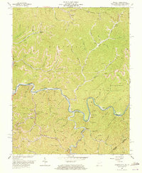
1964 Map of Majestic
USGS Topo · Published 1973About this map
Tug Fork carves a winding path along the state line where West Virginia, Kentucky, and Virginia meet, defining a landscape dominated by the coal and rail industries of the mid-20th century. The Norfolk and Western railroad tracks follow the river's tight bends, serving coal-producing communities such as Vulcan and Majestic. The terrain is marked by numerous strip mines and established operations like the Thacker Mines near the northern boundary. Smaller settlements like Stopover and Phelps are tucked into the narrow hollows, connected by a network of creeks including Grapevine Creek and Knox Creek. Local infrastructure for these mining towns is visible in the placement of the Thacker Sch and Beech Creek Sch, while family history is recorded in scattered Cem sites situated on the ridges above the valley floor.
Find a feature on this map
71 named features on this map. Tap any name to fly to it.
Don’t see what you’re looking for? This feature index may not catch every label — zoom into the map to look around manually.
Map Details
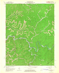
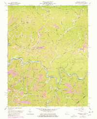
Editions of this 1964 Majestic Map
3 editions found
Other maps of this area

1886 · Grundy
USGS Topo · 1:125,000

1887 · Warfield
USGS Topo · 1:125,000

1890 · Grundy
USGS Topo · 1:125,000

1891 · Tazewell
USGS Topo · 1:125,000

1891 · Oceana
USGS Topo · 1:125,000

1891 · Warfield
USGS Topo · 1:125,000

1892 · Grundy
USGS Topo · 1:125,000

1893 · Oceana
USGS Topo · 1:125,000

1895 · Tazewell
USGS Topo · 1:125,000

1897 · Tazewell
USGS Topo · 1:125,000