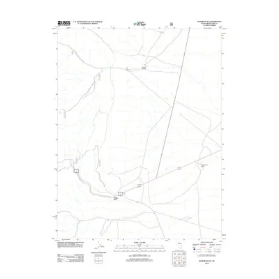
2012 Map of Majors Place
USGS Topo · Published 2012About this map
Majors Place serves as the central junction for this high-desert landscape in White Pine County, where major regional highways intersect amidst a network of forest service routes. The terrain is defined by the gradual ascent toward the mountains, marked by distinct landmarks such as Rattlesnake Knoll and the drainage of Cooper Canyon. Water sources like Allen Spring provide critical reference points for the remote area, while an extensive system of development roads, including Natl Forest Develop Road 577 and Natl Forest Develop Road 436 Rd, reveal the modern management and accessibility of the surrounding National Forest lands. This survey documents the intersection of travel corridors and natural topography in the Great Basin region.
Find a feature on this map
9 named features on this map. Tap any name to fly to it.
Don’t see what you’re looking for? This feature index may not catch every label — zoom into the map to look around manually.
Map Details
Editions of this 2012 Majors Place Map
This is the sole edition of this map. No revisions or reprints were ever made.
Other maps of this area

1948 · Wheeler Peak
USGS Topo · 1:62,500

1950 · Wheeler Peak
USGS Topo · 1:62,500

1952 · Ely
USGS Topo · 1:125,000

1956 · Lund
USGS Topo · 1:250,000

1956 · Ely
USGS Topo · 1:250,000

1959 · Ely
USGS Topo · 1:250,000

1959 · Sacramento Pass
USGS Topo · 1:62,500

1959 · Connors Pass
USGS Topo · 1:62,500

1960 · Lund
USGS Topo · 1:250,000

1963 · Ely
USGS Topo · 1:250,000