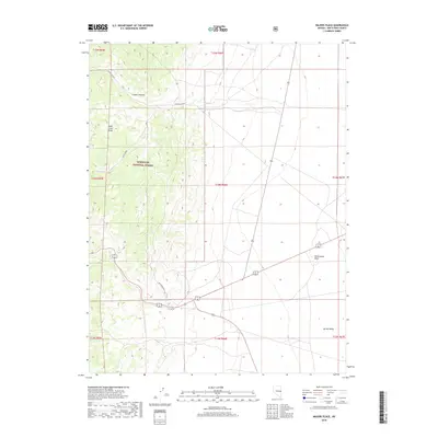
2018 Map of Majors Place
USGS Topo · Published 2018About this map
The high-desert terrain of the Schell Creek Range dominates this portion of the Humboldt National Forest. Steep ridges and canyons, most notably Cooper Canyon, mark the western half of the map before the landscape transitions into the broad expanse of Spring Valley. This transition zone is punctuated by distinctive geological features like Rattlesnake Knoll and vital water sources such as Allen Spring, which sustained travel through this arid region. The network of forest roads and trails, including the South Boundary Loop and Allen Spring trail, illustrates how modern management and recreation paths follow the natural corridors carved through the Nevada wilderness.
Find a feature on this map
17 named features on this map. Tap any name to fly to it.
Don’t see what you’re looking for? This feature index may not catch every label — zoom into the map to look around manually.
Map Details
Editions of this 2018 Majors Place Map
This is the sole edition of this map. No revisions or reprints were ever made.
Other maps of this area

1948 · Wheeler Peak
USGS Topo · 1:62,500

1950 · Wheeler Peak
USGS Topo · 1:62,500

1952 · Ely
USGS Topo · 1:125,000

1956 · Lund
USGS Topo · 1:250,000

1956 · Ely
USGS Topo · 1:250,000

1959 · Ely
USGS Topo · 1:250,000

1959 · Sacramento Pass
USGS Topo · 1:62,500

1959 · Connors Pass
USGS Topo · 1:62,500

1960 · Lund
USGS Topo · 1:250,000

1963 · Ely
USGS Topo · 1:250,000