Loading...
Loading map...1966 Map of Makanda
USGS Topo · Published 1990About this map
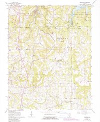
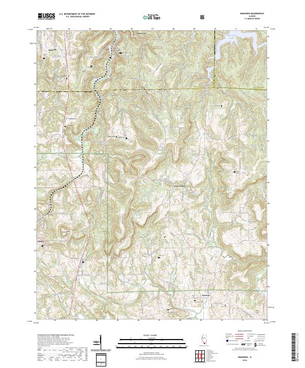
The rugged drainage systems of Drury Creek and Bradshaw Creek define this section of southern Illinois as it appeared in the mid-1960s, with updates through the late 1980s. The landscape is heavily marked by the meeting of Giant City State Park and the Shawnee National Forest, where conservation land intersects with long-established rural communities. Family history is deeply rooted in the terrain, evidenced by numerous small burial grounds like Zimmerman Cem, Lockard Cem, and Williams Cem scattered among the ridges.
Find a feature on this map
42 named features on this map. Tap any name to fly to it.
Don’t see what you’re looking for? This feature index may not catch every label — zoom into the map to look around manually.
Map Details
Date Portrayed1966
Date Published1990
PublisherU.S. Geological Survey
Map TypeTopographic
Scale1:24,000
Physical Dimensions21.96 x 26.88 inches
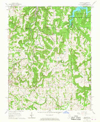
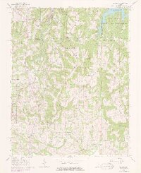
Editions of this 1966 Makanda Map
3 editions found
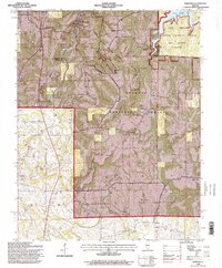
Historical Maps of Cobden Through Time
7 maps found


Featured Locations
Source Details
SourceU.S. Geological Survey
CopyrightPublic Domain