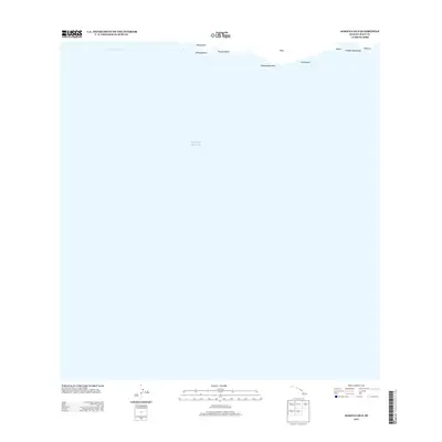
2013 Map of Makena OE S
USGS Topo · Published 2013About this map
The Alalākeiki Channel separates the southern coast of Maui from the open Pacific Ocean in this coastal study. The map focus is primarily maritime, detailing the shoreline transition from Keawanaku in the west toward Kāneloa in the east. This stretch of land is defined by prominent coastal markers such as Pohakueaea Point and Pohaku Manamana, illustrating the interface between the volcanic island landscape and the sea. The documentation of specific shore features like Kanaio Beach and Waiakapuhi provides a record of the coastline as it appeared in the early 21st century. While the majority of the area is dominated by the channel, these specific terrain labels offer precise points of reference for those interested in the geographic nomenclature of this part of Maui.
Find a feature on this map
11 named features on this map. Tap any name to fly to it.
Don’t see what you’re looking for? This feature index may not catch every label — zoom into the map to look around manually.
Map Details
Editions of this 2013 Makena OE S Map
This is the sole edition of this map. No revisions or reprints were ever made.
Other maps of this area

1954 · Maui
USGS Topo · 1:250,000

1954 · Makena
USGS Topo · 1:24,000

1957 · Lualailua Hills
USGS Topo · 1:24,000

1966 · Maui
USGS Topo · 1:250,000

1974 · Maui
USGS Topo · 1:250,000
1983 · Lualailua Hills
USGS Topo · 1:24,000
1983 · Makena
USGS Topo · 1:24,000
1995 · Makena
USGS Topo · 1:24,000
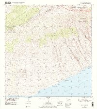
1995 · Luala'ilua Hills
USGS Topo · 1:24,000
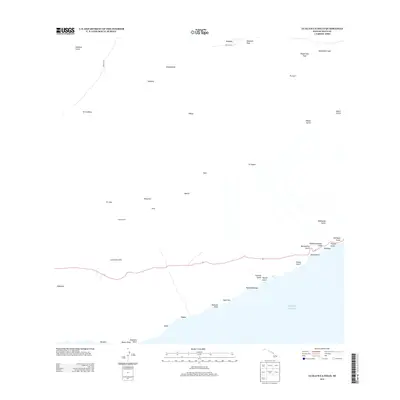
2013 · Lualailua Hills
USGS Topo · 1:24,000