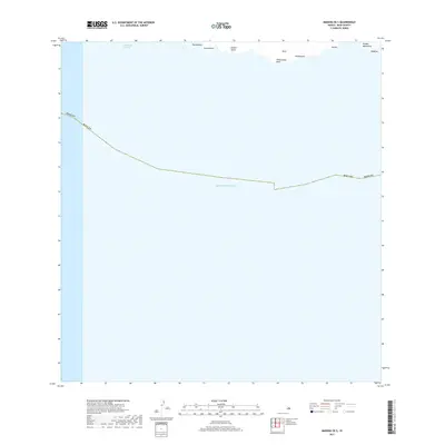
2017 Map of Makena OE S
USGS Topo · Published 2017About this map
The southern coast of Maui meets the deep waters of the Pacific Ocean in this 2017 survey. The coastline is defined by prominent geographic features such as Pohakueaea Point and the quiet stretch of Kanaio Beach. Separating the main island from its neighbors, the Alalākeiki Channel dominates the upper portion of the quadrangle.
Find a feature on this map
13 named features on this map. Tap any name to fly to it.
Don’t see what you’re looking for? This feature index may not catch every label — zoom into the map to look around manually.
Map Details
Editions of this 2017 Makena OE S Map
This is the sole edition of this map. No revisions or reprints were ever made.
Other maps of this area

1954 · Maui
USGS Topo · 1:250,000

1954 · Makena
USGS Topo · 1:24,000

1957 · Lualailua Hills
USGS Topo · 1:24,000

1966 · Maui
USGS Topo · 1:250,000

1974 · Maui
USGS Topo · 1:250,000
1983 · Lualailua Hills
USGS Topo · 1:24,000
1983 · Makena
USGS Topo · 1:24,000
1995 · Makena
USGS Topo · 1:24,000
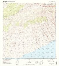
1995 · Luala'ilua Hills
USGS Topo · 1:24,000
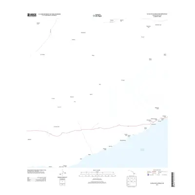
2013 · Lualailua Hills
USGS Topo · 1:24,000