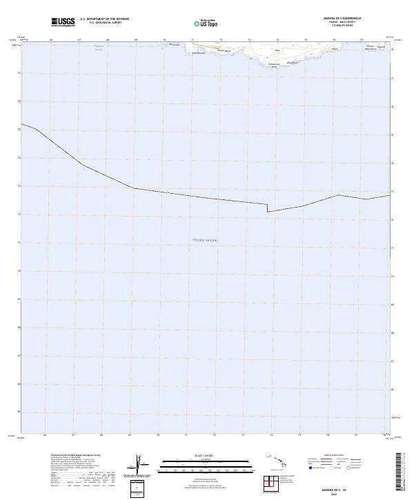
2024 Map of Makena OE S
USGS Topo · Published 2024About this map
The south shore of Maui meets the Pacific Ocean along a stretch of coast characterized by its volcanic shoreline and traditional pathways. The Hoapili Trl skirts the coast, connecting remote points such as Keawanaku and Kamanamana. This area is defined by its maritime landscape, where the 'Alalākeiki Channel separates the island's southern reach from the sea. Notable coastal features include the black sands of Kanaio Beach and the prominent Pohakueaea Point. Farther east, labels such as Kalulu, Pohaku Manamana, and Kāneloa identify specific coastal landforms. The terrain here suggests a sparse human footprint, focused primarily on the shoreline and the historic trail system that allows access to this section of the island's edge.
Find a feature on this map
12 named features on this map. Tap any name to fly to it.
Don’t see what you’re looking for? This feature index may not catch every label — zoom into the map to look around manually.
Map Details
Editions of this 2024 Makena OE S Map
This is the sole edition of this map. No revisions or reprints were ever made.
Other maps of this area

1954 · Maui
USGS Topo · 1:250,000

1954 · Makena
USGS Topo · 1:24,000

1957 · Lualailua Hills
USGS Topo · 1:24,000

1966 · Maui
USGS Topo · 1:250,000

1974 · Maui
USGS Topo · 1:250,000
1983 · Lualailua Hills
USGS Topo · 1:24,000
1983 · Makena
USGS Topo · 1:24,000
1995 · Makena
USGS Topo · 1:24,000
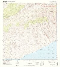
1995 · Luala'ilua Hills
USGS Topo · 1:24,000
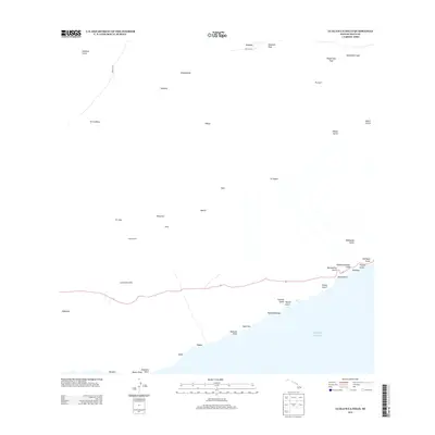
2013 · Lualailua Hills
USGS Topo · 1:24,000