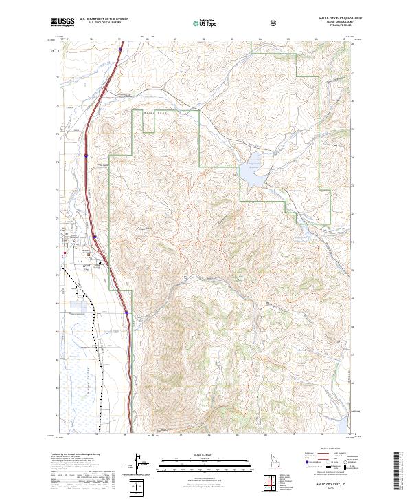
2023 Map of Malad City East
USGS Topo · Published 2023About this map
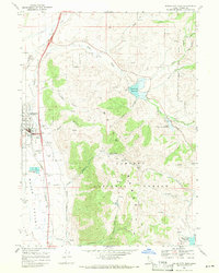
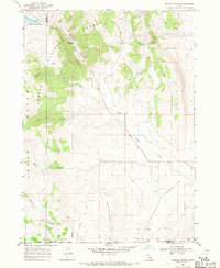
Malad City serves as the focal point of this Oneida County landscape, where the urban grid meets the rising slopes of the Malad Range. Located at the edge of the Malad Valley, the town is anchored by civic and community sites such as the Oneida County Courthouse and the nearby Malad City Cem. This 2023 edition highlights a complex network of recreational and water management features within the Caribou National Forest, including the Deep Creek Reservoir and Upper Deep Cr Reservoir.
Find a feature on this map
61 named features on this map. Tap any name to fly to it.
Don’t see what you’re looking for? This feature index may not catch every label — zoom into the map to look around manually.
Map Details
Editions of this 2023 Malad City East Map
This is the sole edition of this map. No revisions or reprints were ever made.
Other maps of this area

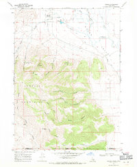
1954 · Pocatello
USGS Topo · 1:250,000

1958 · Pocatello
USGS Topo · 1:250,000
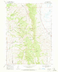
1968 · Samaria
USGS Topo · 1:24,000
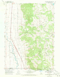
1968 · Malad Summit
USGS Topo · 1:24,000
1968 · Oxford
USGS Topo · 1:24,000
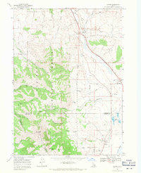
1968 · Malad City West
USGS Topo · 1:24,000
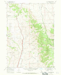
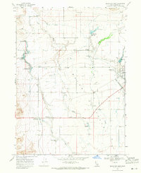
1968 · Malad City East
USGS Topo · 1:24,000
1968 · Henderson Creek
USGS Topo · 1:24,000
1968 · Clifton
USGS Topo · 1:24,000
1968 · Weston Canyon
USGS Topo · 1:24,000