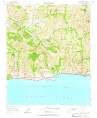
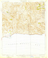
1950 Map of Malibu Beach
USGS Topo · Published 1967About this map
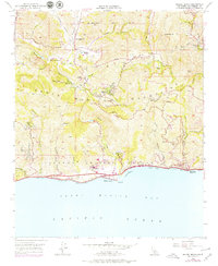
Malibu Beach and the rugged canyon landscapes of the Santa Monica Mountains are depicted here during a period of early development and established ranching. The Pacific Coast Highway hugs the shoreline, providing access to coastal pockets like Las Flores (Malibu PO) and El Nido, while inland the terrain is defined by deep drainages such as Malibu Creek and Topanga Canyon. Settlement patterns show a mix of institutional use and private landholdings, with locations like the Salvation Army Camp, Tapia Park, and Century Ranch scattered among the hills. Higher elevations are marked by landmarks like Saddle Peak and Calabasas Pk, overlooking a network of mountain roads including the Mulholland Highway. This 1950 survey, field-checked just as the region began its post-war growth, captures the early footprint of mountain communities like Monte Nido and Malibu Bowl before more modern suburban expansion transformed the interior canyons.
Find a feature on this map
56 named features on this map. Tap any name to fly to it.
Don’t see what you’re looking for? This feature index may not catch every label — zoom into the map to look around manually.
Map Details
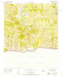
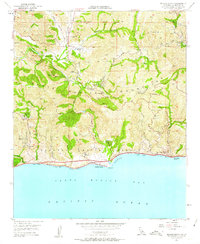
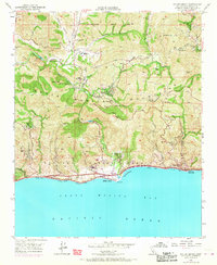
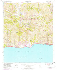
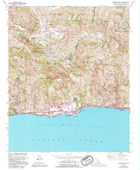
Editions of this 1950 Malibu Beach Map
7 editions found
Other maps of this area

1900 · Triunfo Pass
USGS Topo · 1:62,500

1903 · Calabasas
USGS Topo · 1:62,500

1903 · Camulos
USGS Topo · 1:125,000

1921 · Triunfo Pass
USGS Topo · 1:62,500

1928 · Dry Canyon
USGS Topo · 1:24,000
1929 · Dry Canyon
USGS Topo · 1:24,000

1929 · Vejor
USGS Topo · 1:24,000

1929 · Solstice Canyon
USGS Topo · 1:24,000
1932 · Las Flores
USGS Topo · 1:24,000

1932 · Seminole
USGS Topo · 1:24,000
Featured Places
- Calabasas, CA
- Malibu, CA
- Topanga, CA
- Crater Camp, Unincorporated Santa Monica Mountains
- Las Flores, Malibu