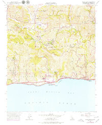
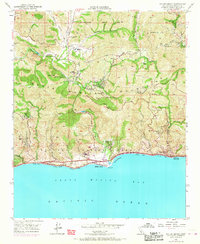
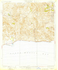
1950 Map of Malibu Beach
USGS Topo · Published 1979About this map
The Santa Monica Mountains descend into the Pacific along this stretch of the Los Angeles coastline, where the transition from rugged canyon terrain to the beaches of Santa Monica Bay is clearly defined. The interior landscape is marked by ranching and institutional retreats, including Century Ranch, Stunts Ranch, and the Salvation Army Camp near Brents Mtn. Development is concentrated along the Mulholland Highway and the coastal frontage of Malibu Beach, with smaller settlements like Monte Nido and El Nido tucked into the canyons.
Find a feature on this map
69 named features on this map. Tap any name to fly to it.
Don’t see what you’re looking for? This feature index may not catch every label — zoom into the map to look around manually.
Map Details
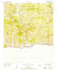
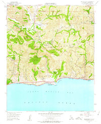
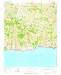
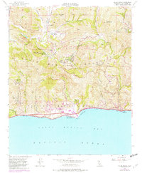
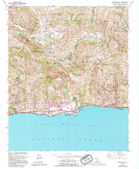
Editions of this 1950 Malibu Beach Map
7 editions found
Other maps of this area

1900 · Triunfo Pass
USGS Topo · 1:62,500

1903 · Calabasas
USGS Topo · 1:62,500

1903 · Camulos
USGS Topo · 1:125,000

1921 · Triunfo Pass
USGS Topo · 1:62,500

1928 · Dry Canyon
USGS Topo · 1:24,000
1929 · Dry Canyon
USGS Topo · 1:24,000

1929 · Vejor
USGS Topo · 1:24,000

1929 · Solstice Canyon
USGS Topo · 1:24,000
1932 · Las Flores
USGS Topo · 1:24,000

1932 · Seminole
USGS Topo · 1:24,000
Featured Places
- Calabasas, CA
- Malibu, CA
- Topanga, CA
- Crater Camp, Unincorporated Santa Monica Mountains
- Las Flores, Malibu