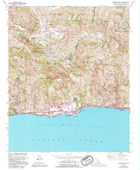
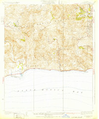
1950 Map of Malibu Beach
USGS Topo · Published 1994About this map
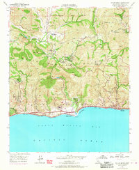
The Santa Monica Mountains meet the Pacific Ocean in this mid-century look at one of California’s most recognizable coastal landscapes. Centered on the mouth of Malibu Creek, the terrain transitions from the steep canyons of Saddle Peak and Calabasas Peak down to the shoreline stretches of Amarillo Beach and Carbon Beach. The map documents the early institutional footprint of the area, featuring the grounds of Soka University, Pepperdine University, and the Sérra Retreat.
Find a feature on this map
46 named features on this map. Tap any name to fly to it.
Don’t see what you’re looking for? This feature index may not catch every label — zoom into the map to look around manually.
Map Details
Editions of this 1950 Malibu Beach Map
7 editions found
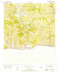
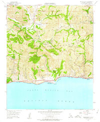
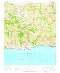
Other maps of this area

1900 · Triunfo Pass
USGS Topo · 1:62,500

1903 · Calabasas
USGS Topo · 1:62,500

1903 · Camulos
USGS Topo · 1:125,000

1921 · Triunfo Pass
USGS Topo · 1:62,500

1928 · Dry Canyon
USGS Topo · 1:24,000
1929 · Dry Canyon
USGS Topo · 1:24,000

1929 · Vejor
USGS Topo · 1:24,000

1929 · Solstice Canyon
USGS Topo · 1:24,000
1932 · Las Flores
USGS Topo · 1:24,000

1932 · Seminole
USGS Topo · 1:24,000
Featured Places
- Calabasas, CA
- Malibu, CA
- Topanga, CA
- Crater Camp, Unincorporated Santa Monica Mountains
- Las Flores, Malibu