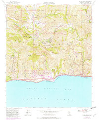
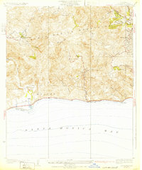
1950 Map of Malibu Beach
USGS Topo · Published 1982About this map
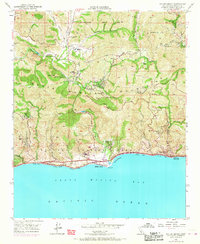
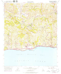
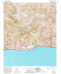
Malibu Beach and the rugged canyons of the Santa Monica Mountains define this coastal landscape at mid-century. The map captures a moment when the shoreline was primarily accessed via the Pacific Coast Highway, dotted with small settlements like El Nido and the coastal post office at Las Flores. Inland, the terrain is marked by a network of private ranches and institutional camps, including the Century Ranch and Salvation Army Camp. The transition from rural ranching to recreational use is evident in the presence of Tapia Park and the Santa Monica Mountains National Recreation Area. Local history is preserved through labels like the Las Virgenes Sch (Aband) and various fire stations, reflecting the developmental patterns of Los Angeles County before the intense residential expansion of later decades.
Find a feature on this map
59 named features on this map. Tap any name to fly to it.
Don’t see what you’re looking for? This feature index may not catch every label — zoom into the map to look around manually.
Map Details
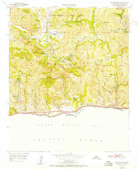
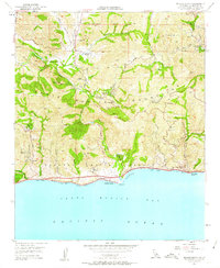
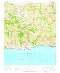
Editions of this 1950 Malibu Beach Map
7 editions found
Other maps of this area

1900 · Triunfo Pass
USGS Topo · 1:62,500

1903 · Calabasas
USGS Topo · 1:62,500

1903 · Camulos
USGS Topo · 1:125,000

1921 · Triunfo Pass
USGS Topo · 1:62,500

1928 · Dry Canyon
USGS Topo · 1:24,000
1929 · Dry Canyon
USGS Topo · 1:24,000

1929 · Vejor
USGS Topo · 1:24,000

1929 · Solstice Canyon
USGS Topo · 1:24,000
1932 · Las Flores
USGS Topo · 1:24,000

1932 · Seminole
USGS Topo · 1:24,000
Featured Places
- Calabasas, CA
- Malibu, CA
- Topanga, CA
- Crater Camp, Unincorporated Santa Monica Mountains
- Las Flores, Malibu