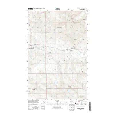
2014 Map of Mallardy Ridge
USGS Topo · Published 2014About this map
Verlot serves as a central point of activity within the Mount Baker National Forest, situated where the South Fork Stillaguamish River flows through high-elevation terrain. This 2014 survey captures a landscape defined by its network of recreational outposts and protective designations, such as the City of Everett Watershed and the Lake Twenty-two Research Natural Area. The distribution of backcountry sites like Wiley Creek Camp, Slide Camp, and Bolt Camp suggests a geography heavily utilized for forest management and seasonal access. To the south, a dense cluster of alpine water bodies including Ashland Lakes, Beaver Plant Lake, and Lake Evan highlights the complex drainage systems of Mallardy Ridge. The presence of the Mountain Loop Highway Bridge indicates the primary transit corridor that connects these remote camps and campgrounds, including Gold Basin and River Bar, to the broader region.
Find a feature on this map
54 named features on this map. Tap any name to fly to it.
Don’t see what you’re looking for? This feature index may not catch every label — zoom into the map to look around manually.
Map Details
Editions of this 2014 Mallardy Ridge Map
This is the sole edition of this map. No revisions or reprints were ever made.
Other maps of this area

1899 · Stillaguamish
USGS Topo · 1:125,000

1901 · Stilaguamish
USGS Topo · 1:125,000

1921 · Sultan
USGS Topo · 1:125,000

1923 · Sultan
USGS Topo · 1:125,000

1955 · Concrete
USGS Topo · 1:250,000

1956 · Monroe
USGS Topo · 1:62,500

1956 · Granite Falls
USGS Topo · 1:62,500

1957 · Silverton
USGS Topo · 1:62,500

1957 · Index
USGS Topo · 1:62,500

1957 · Wenatchee
USGS Topo · 1:250,000