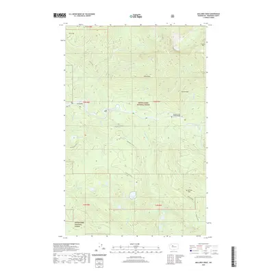
2020 Map of Mallardy Ridge
USGS Topo · Published 2020About this map
Gold Basin and the surrounding peaks of the Cascade Range define this high-elevation landscape within the Mount Baker National Forest and Snoqualmie National Forest. The 2020 topography illustrates a complex drainage network where the South Fork Sauk River and the South Fork Stillaguamish River begin their descent. A high concentration of alpine water bodies, including Canyon Lake, Boardman Lake, and the Ashland Lakes, are connected by a system of ridges like Wiley Ridge and Mallardy Ridge. This modern survey details the vital access routes through the wilderness, from the Mountain Loop Highway Bridge to the Pinnacle Lake Trail, showing how the land is managed between forest boundaries and recreational corridors.
Find a feature on this map
48 named features on this map. Tap any name to fly to it.
Don’t see what you’re looking for? This feature index may not catch every label — zoom into the map to look around manually.
Map Details
Editions of this 2020 Mallardy Ridge Map
This is the sole edition of this map. No revisions or reprints were ever made.
Other maps of this area

1899 · Stillaguamish
USGS Topo · 1:125,000

1901 · Stilaguamish
USGS Topo · 1:125,000

1921 · Sultan
USGS Topo · 1:125,000

1923 · Sultan
USGS Topo · 1:125,000

1955 · Concrete
USGS Topo · 1:250,000

1956 · Monroe
USGS Topo · 1:62,500

1956 · Granite Falls
USGS Topo · 1:62,500

1957 · Silverton
USGS Topo · 1:62,500

1957 · Index
USGS Topo · 1:62,500

1957 · Wenatchee
USGS Topo · 1:250,000