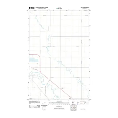
2010 Map of Mallory
USGS Topo · Published 2010About this map
Red Lake River meanders through the southern portion of this landscape, its tight oxbows and curves defining the topography near the small settlement of Mallory. This 2010 survey illustrates a primarily agricultural region of Polk County, where the grid-like precision of section lines and county roads, such as County Hwy-17 and County Hwy-63, meet the natural flow of Grand Marais Creek.
Find a feature on this map
22 named features on this map. Tap any name to fly to it.
Don’t see what you’re looking for? This feature index may not catch every label — zoom into the map to look around manually.
Map Details
Editions of this 2010 Mallory Map
This is the sole edition of this map. No revisions or reprints were ever made.
Other maps of this area

1918 · Warren
USGS Topo · 1:62,500

1934 · Grand Forks
USGS Topo · 1:24,000

1934 · Grand Forks
USGS Topo · 1:62,500

1938 · Grand Forks
USGS Topo · 1:62,500

1952 · Grand Forks
USGS Topo · 1:250,000

1952 · Thief River Falls
USGS Topo · 1:250,000

1955 · Warren
USGS Topo · 1:62,500

1956 · Thief River Falls
USGS Topo · 1:250,000

1956 · Grand Forks
USGS Topo · 1:250,000

1957 · Thief River Falls
USGS Topo · 1:250,000