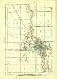
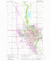
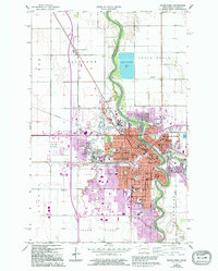
1934 Map of Grand Forks
USGS Topo · Published 1934About this map
The Red River of the North carves a winding path through this 1930s landscape, serving as the border between Grand Forks and East Grand Forks. The city layout reveals a community centered on education and industry, with the sprawling campus of the University of North Dakota and Wesley College established on the western edge near English Coulee. To the north, the massive State Elevator and Mill stands near the State Fairgrounds, signaling the region's agricultural importance.
Find a feature on this map
37 named features on this map. Tap any name to fly to it.
Don’t see what you’re looking for? This feature index may not catch every label — zoom into the map to look around manually.
Map Details
Editions of this 1934 Grand Forks Map
This is the sole edition of this map. No revisions or reprints were ever made.
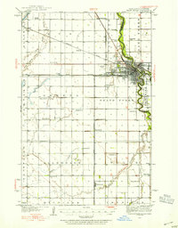
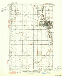
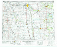
Historical Maps of Grand Forks Through Time
14 maps found
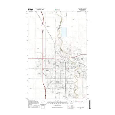
1934 Grand Forks
Grand Forks County, ND
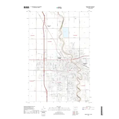
1934 Grand Forks
Grand Forks County, ND
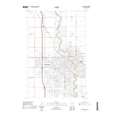
1938 Grand Forks
Grand Forks County, ND
1952 Grand Forks
Grand Forks County, ND

1956 Grand Forks
Grand Forks County, ND
1963 Grand Forks
Grand Forks County, ND

1966 Grand Forks
Grand Forks County, ND
1985 Grand Forks
Grand Forks County, ND
1994 Grand Forks
Grand Forks County, ND
2011 Grand Forks
Grand Forks County, ND
2014 Grand Forks
Grand Forks County, ND
2017 Grand Forks
Grand Forks County, ND
2020 Grand Forks
Grand Forks County, ND
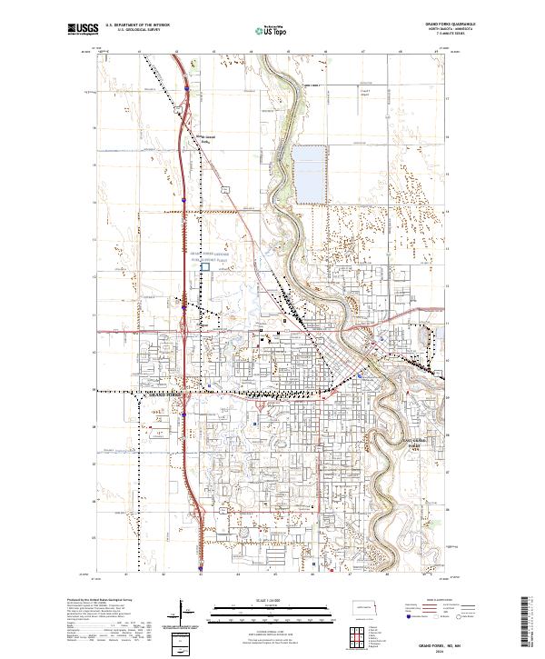
2024 Grand Forks
Grand Forks County, ND