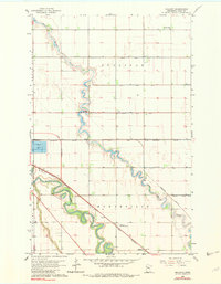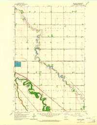
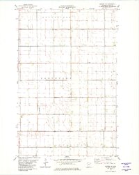
1963 Map of Mallory
USGS Topo · Published 1964This historical map portrays the area of Mallory in 1963, primarily covering Polk County. Featuring a scale of 1:24000, this map provides a highly detailed snapshot of the terrain, roads, buildings, counties, and historical landmarks in the Mallory region at the time. Published in 1964, it is one of 3 known editions of this map due to revisions or reprints.
Map Details
Editions of this 1963 Mallory Map
3 editions found
Historical Maps of Polk County Through Time
31 maps found
1918 Angus
Polk County, MN
1919 Valley
Polk County, MN
1919 Winsor
Polk County, MN
1961 Angus
Polk County, MN
1961 Angus SE
Polk County, MN
1963 Key West
Polk County, MN
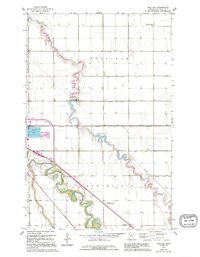
1963 Mallory
Polk County, MN
1964 Beltrami SW
Polk County, MN
1964 Bygland
Polk County, MN
1964 Eldred
Polk County, MN
1964 Girard
Polk County, MN
1964 Greenview
Polk County, MN
1965 Dugdale
Polk County, MN
1965 Harold
Polk County, MN
1965 Melvin
Polk County, MN
1966 Halverson Lake
Polk County, MN
1966 Oslo SE
Polk County, MN
1966 Union Lake
Polk County, MN
1969 Fosston East
Polk County, MN
1969 Fosston SE
Polk County, MN
1969 Fosston West
Polk County, MN
1969 Mc Intosh NE
Polk County, MN
1969 Mc Intosh
Polk County, MN
1969 Olga
Polk County, MN
1974 St Croix Dalles NW
Polk County, MN
1982 Crookston NE
Polk County, MN
1982 Crookston SW
Polk County, MN
1982 Euclid
Polk County, MN
1982 Gentilly
Polk County, MN
1982 Tabor
Polk County, MN
1982 Warren SW
Polk County, MN
