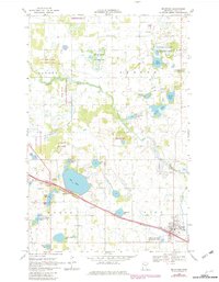
1969 Map of Mc Intosh
USGS Topo · Published 1982About this map
The Burlington Northern railroad corridor anchors this survey of Polk County, Minnesota, during a period of established agricultural and conservation land use. The town of McIntosh serves as the primary hub in the southeast, while the surrounding landscape is defined by the Poplar River and a dense network of glacial water bodies including Oak Lake, Frisk Lake, and Berg Lake.
Find a feature on this map
44 named features on this map. Tap any name to fly to it.
Don’t see what you’re looking for? This feature index may not catch every label — zoom into the map to look around manually.
Map Details
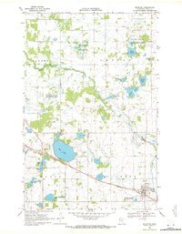
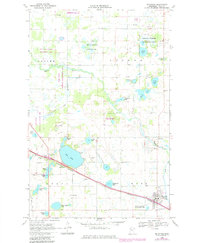
Editions of this 1969 Mc Intosh Map
3 editions found
Other maps of this area

1918 · Terrebonne
USGS Topo · 1:62,500

1919 · Grit
USGS Topo · 1:62,500

1919 · Valley
USGS Topo · 1:62,500

1952 · Grand Forks
USGS Topo · 1:250,000

1954 · Bemidji
USGS Topo · 1:250,000

1956 · Grand Forks
USGS Topo · 1:250,000

1957 · Bemidji
USGS Topo · 1:250,000

1958 · Bemidji
USGS Topo · 1:250,000

1964 · Brooks
USGS Topo · 1:24,000

1966 · Grand Forks
USGS Topo · 1:250,000