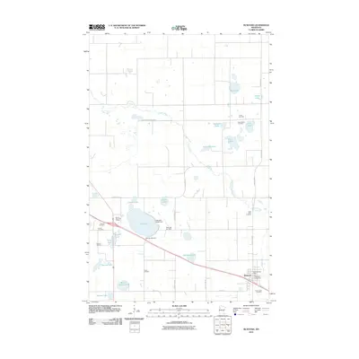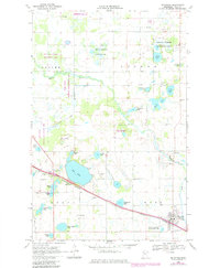
1969 Map of McIntosh
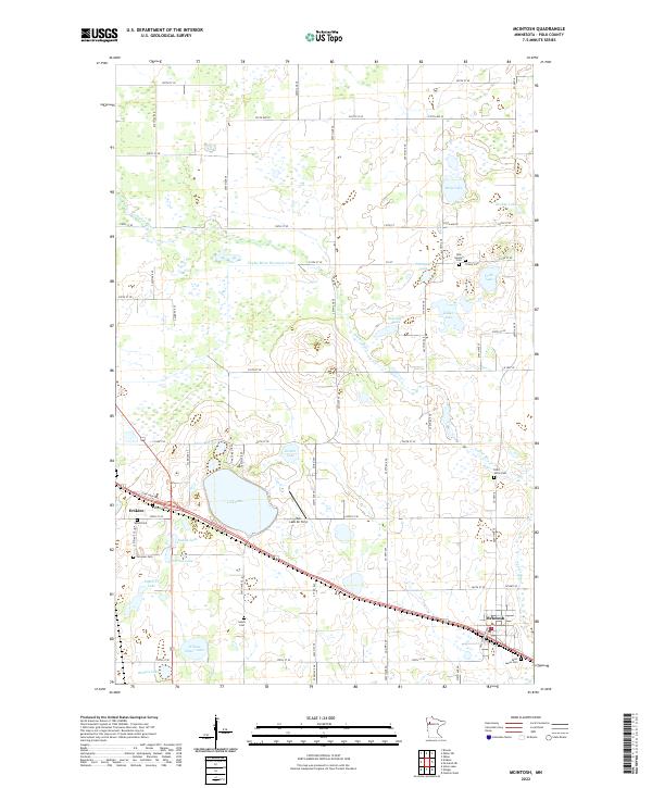
USGS Topo · Published 1982About this map
The Burlington Northern line cuts a diagonal path through this corner of Polk County, anchoring the town of McIntosh at the intersection of rail and river commerce. This landscape is defined by its glacial hydrology, with numerous basins like Oak Lake, Frisk Lake, and Keller Lake scattered across the townships of Badger, Lessor, Knute, and King. These water bodies are often surrounded by dedicated conservation lands, including the National Waterfowl Production Area and several units of the National Wildlife Management Area, reflecting a region deeply integrated with its natural wetlands.
Find a feature on this map
45 named features on this map. Tap any name to fly to it.
Don’t see what you’re looking for? This feature index may not catch every label — zoom into the map to look around manually.
Map Details
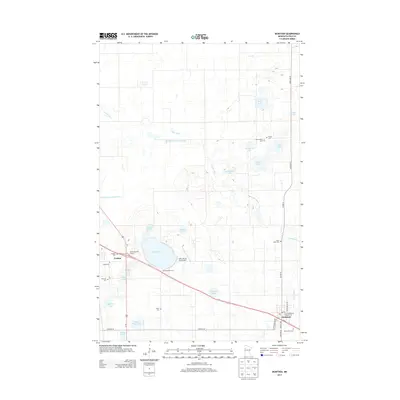
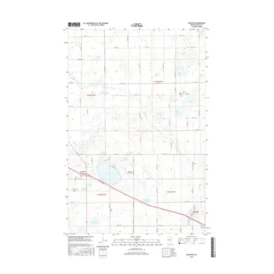
Editions of this 1969 McIntosh Map
3 editions found
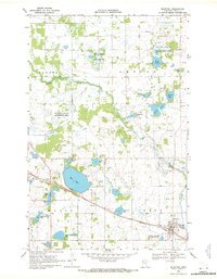
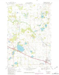
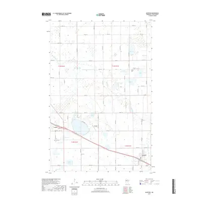
Historical Maps of McIntosh Through Time
5 maps found