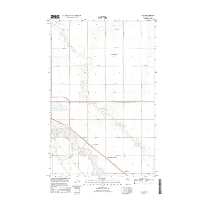
2016 Map of Mallory
USGS Topo · Published 2016About this map
The Red Lake River meanders through the southern reaches of this Red River Valley landscape, providing a natural contrast to the rigid grid of agricultural section lines and county roads. Near the settlement of Mallory, the terrain is defined by the intersection of Co Hwy 63 and 450th Ave SW, serving as a localized transit point within the fertile plains of Polk County. The hydrologic patterns of the region are clearly visible, from the winding path of Grand Marais Creek to the engineered precision of the County Ditch Number One Hundred Twentysix, reflecting the area's long history of land management for farming.
Find a feature on this map
41 named features on this map. Tap any name to fly to it.
Don’t see what you’re looking for? This feature index may not catch every label — zoom into the map to look around manually.
Map Details
Editions of this 2016 Mallory Map
This is the sole edition of this map. No revisions or reprints were ever made.
Other maps of this area

1918 · Warren
USGS Topo · 1:62,500

1934 · Grand Forks
USGS Topo · 1:24,000

1934 · Grand Forks
USGS Topo · 1:62,500

1938 · Grand Forks
USGS Topo · 1:62,500

1952 · Grand Forks
USGS Topo · 1:250,000

1952 · Thief River Falls
USGS Topo · 1:250,000

1955 · Warren
USGS Topo · 1:62,500

1956 · Thief River Falls
USGS Topo · 1:250,000

1956 · Grand Forks
USGS Topo · 1:250,000

1957 · Thief River Falls
USGS Topo · 1:250,000