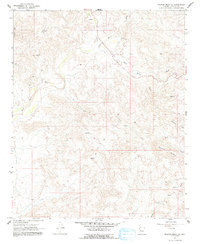
1967 Map of Malpais Mesa NE
USGS Topo · Published 1991About this map
Santa Maria River and its South Fork carve through this high-desert region of Yavapai County, defining a landscape marked by steep relief and seasonal drainages. Mineral exploration in the mid-1960s centered around Crosby Mtn, where the Crosby Mine and Swiss Bell Mine are situated. The presence of these named operations indicates the area's legacy of small-scale mining. Movement through the complex terrain was facilitated by a designated Pack Trail that connects various springs and washes. Water sources like Quail Spring and the Deer Well served as critical landmarks for local travel. Between Little Shipp Wash and the southern Grayback Mountain, the drainage patterns of Tank Wash and McCloud Wash illustrate the intricate watershed system feeding the primary river corridor.
Find a feature on this map
15 named features on this map. Tap any name to fly to it.
Don’t see what you’re looking for? This feature index may not catch every label — zoom into the map to look around manually.
Map Details
Editions of this 1967 Malpais Mesa NE Map
2 editions found
Other maps of this area

1887 · Prescott
USGS Topo · 1:250,000

1892 · Prescott
USGS Topo · 1:250,000

1903 · Congress
USGS Topo · 1:125,000

1904 · Congress
USGS Topo · 1:125,000

1923 · Signal
USGS Topo · 1:250,000

1942 · Signal
USGS Topo · 1:250,000

1945 · Bagdad
USGS Topo · 1:62,500

1947 · Sheridan Mountain
USGS Topo · 1:62,500

1948 · Sheridan Mountain
USGS Topo · 1:63,360

1948 · Bagdad
USGS Topo · 1:62,500