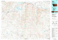
1984 Map of Malta
USGS Topo · Published 1984About this map
The Milk River flows across the northern reaches of this Phillips County landscape, anchoring a corridor of rail and road infrastructure that defines the region's settlement pattern. The Burlington Northern railroad serves as the primary artery connecting the communities of Malta, Strater, and Saco, tracing the path of the river valley. Central to the map is the Bowdoin National Wildlife Refuge, where Lake Bowdoin and the Dry Lake Unit provide a significant aquatic contrast to the surrounding terrain. To the south, the expansive Larb Hills rise above the drainage of Sevenmile Creek and Beaver Creek. This 1984 compilation by the U.S. Geological Survey integrates data from over a decade of topographic surveys, offering a clear view of the water management systems around Nelson Reservoir and the Le Noir Reservoir during a period of established ranching and conservation in north-central Montana.
Find a feature on this map
27 named features on this map. Tap any name to fly to it.
Don’t see what you’re looking for? This feature index may not catch every label — zoom into the map to look around manually.
Map Details
Editions of this 1984 Malta Map
This is the sole edition of this map. No revisions or reprints were ever made.
Other maps of this area
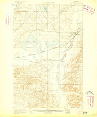
1905 · Bowdoin
USGS Topo · 1:62,500
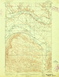
1905 · Saco Special
USGS Topo · 1:62,500
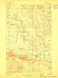
1906 · Hinsdale Special Map
USGS Topo · 1:62,500

1919 · Boundary
USGS Topo · 1:125,000

1920 · Avery
USGS Topo · 1:125,000

1920 · Cowan
USGS Topo · 1:125,000

1943 · Glasgow
USGS Topo · 1:125,000

1953 · Havre
USGS Topo · 1:250,000

1954 · Jordan
USGS Topo · 1:250,000

1954 · Glasgow
USGS Topo · 1:250,000