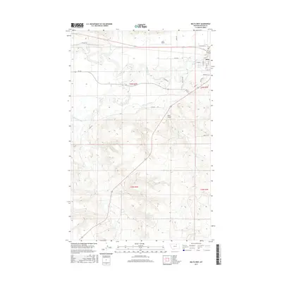
2017 Map of Malta West
USGS Topo · Published 2017About this map
Malta serves as the focal point for this survey of the northern Great Plains, where the winding course of the Milk River meets a structured network of irrigation and transportation. The landscape is defined by the extensive Dodson South Canal, which snakes through the western terrain to support the region's agricultural viability. North of the river, the Malta Airport and landmarks like Mackie Sq mark the town's expansion, while the surrounding prairie is dissected by drainage features such as Exeter Cr and Alkali Cr. To the south, the topography shifts toward the undulations of Taylor Coulee, illustrating the transition from the river valley to the more varied rangeland beyond. Local roads like Kid Curry Rd provide glimpses into the area's frontier heritage and its continued role as a remote hub in Phillips County.
Find a feature on this map
29 named features on this map. Tap any name to fly to it.
Don’t see what you’re looking for? This feature index may not catch every label — zoom into the map to look around manually.
Map Details
Editions of this 2017 Malta West Map
This is the sole edition of this map. No revisions or reprints were ever made.
Other maps of this area

1953 · Havre
USGS Topo · 1:250,000

1954 · Glasgow
USGS Topo · 1:250,000

1957 · Glasgow
USGS Topo · 1:250,000

1957 · Havre
USGS Topo · 1:250,000

1958 · Glasgow
USGS Topo · 1:250,000

1958 · Havre
USGS Topo · 1:250,000

1964 · Dodson NE
USGS Topo · 1:24,000

1965 · Wagner
USGS Topo · 1:24,000

1965 · West Alkali Reservoir
USGS Topo · 1:24,000

1968 · Malta West
USGS Topo · 1:24,000