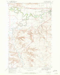
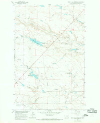
1968 Map of Malta West
USGS Topo · Published 1971About this map
The Milk River meanders sharply through the northern landscape of Phillips County, defining the valley just west of Malta. This 1960s-era geography captures the town's western edge, where transportation and agriculture intersect along the Burlington Northern railroad and the Dodson South Canal. The irrigation network is central to the area's development, drawing water from the river to support the surrounding plains.
Find a feature on this map
25 named features on this map. Tap any name to fly to it.
Don’t see what you’re looking for? This feature index may not catch every label — zoom into the map to look around manually.
Map Details
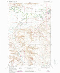
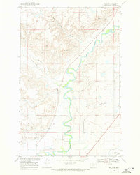
Editions of this 1968 Malta West Map
2 editions found
Other maps of this area

1953 · Havre
USGS Topo · 1:250,000

1954 · Glasgow
USGS Topo · 1:250,000

1957 · Glasgow
USGS Topo · 1:250,000

1957 · Havre
USGS Topo · 1:250,000

1958 · Glasgow
USGS Topo · 1:250,000

1958 · Havre
USGS Topo · 1:250,000
1964 · Dodson NE
USGS Topo · 1:24,000
1965 · Wagner
USGS Topo · 1:24,000
1965 · West Alkali Reservoir
USGS Topo · 1:24,000
1968 · Malta NE
USGS Topo · 1:24,000