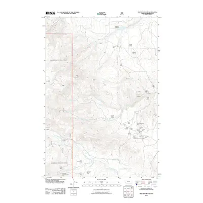
2011 Map of Maltbys Mound
USGS Topo · Published 2011About this map
Sterling sits at the heart of this Montana mining landscape, where high-altitude peaks like Sugar Loaf Mountain and Wallace Peak overlook a terrain dense with historical mineral claims. The concentration of workings near Pony Gulch is particularly dense, featuring a variety of operations ranging from the Brooklyn/Black Prince Mine to the Belle of Tennessee Mine. The map reveals a complex industrial history through these named shafts and placer operations, including the Washington Bar Placer Mine and the Lehigh Group Mine. Hydrological management is evident through structures such as the Norwegian Creek Dam and North Meadow Creek Dam, which supported the area's resource extraction. This 2011 survey captures the enduring imprint of the region's mining legacy, from the prominent Maltbys Mound down to the many creek-side claims along North Meadow Creek and Hot Springs Creek.
Find a feature on this map
53 named features on this map. Tap any name to fly to it.
Don’t see what you’re looking for? This feature index may not catch every label — zoom into the map to look around manually.
Map Details
Editions of this 2011 Maltbys Mound Map
This is the sole edition of this map. No revisions or reprints were ever made.
Other maps of this area

1888 · Three Forks
USGS Topo · 1:250,000

1894 · Three Forks
USGS Topo · 1:250,000

1895 · Three Forks
USGS Topo · 1:250,000

1947 · Bozeman
USGS Topo · 1:250,000

1948 · Bozeman
USGS Topo · 1:250,000

1949 · Ennis
USGS Topo · 1:62,500

1949 · Norris
USGS Topo · 1:62,500

1950 · Harrison
USGS Topo · 1:62,500

1950 · Virginia City
USGS Topo · 1:62,500

1951 · Norris
USGS Topo · 1:62,500