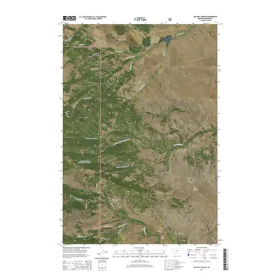
2014 Map of Maltbys Mound
USGS Topo · Published 2014About this map
The settlement of Sterling and the historic Norwegian Placer Gulch anchor this high-altitude landscape within the Beaverhead National Forest. This section of Madison County is defined by its deep mining and ranching roots, evidenced by features like the Eagle Rock So and the complex drainage systems of Norwegian Cr and Hot Springs Cr. The topography is dominated by significant peaks and ridges, including Wallace Peak, Sugar Loaf Mtn, and the sprawling Table Mountain Ridge.
Find a feature on this map
38 named features on this map. Tap any name to fly to it.
Don’t see what you’re looking for? This feature index may not catch every label — zoom into the map to look around manually.
Map Details
Editions of this 2014 Maltbys Mound Map
This is the sole edition of this map. No revisions or reprints were ever made.
Other maps of this area

1888 · Three Forks
USGS Topo · 1:250,000

1894 · Three Forks
USGS Topo · 1:250,000

1895 · Three Forks
USGS Topo · 1:250,000

1947 · Bozeman
USGS Topo · 1:250,000

1948 · Bozeman
USGS Topo · 1:250,000

1949 · Ennis
USGS Topo · 1:62,500

1949 · Norris
USGS Topo · 1:62,500

1950 · Harrison
USGS Topo · 1:62,500

1950 · Virginia City
USGS Topo · 1:62,500

1951 · Norris
USGS Topo · 1:62,500