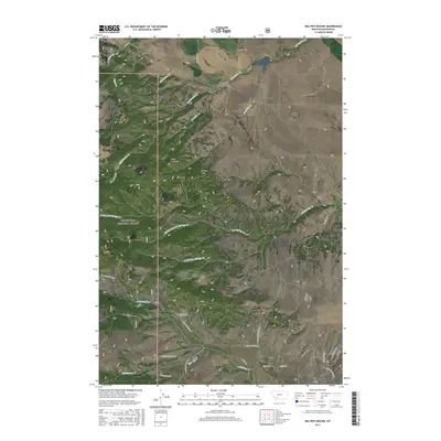
2017 Map of Maltbys Mound
USGS Topo · Published 2017About this map
The mountain terrain of the Tobacco Root Range dominates this landscape, where the settlement of Sterling sits at the base of the foothills. Historical mining activity is etched into the land at Norwegian Placer Gulch, signaling the region's mineral heritage. High peaks like Sugar Loaf Mtn and Wallace Peak rise above the drainage systems of Norwegian Cr and Hot Springs Cr. Much of the western portion is managed as part of the Beaverhead National Forest, characterized by steep ridges and multiple water forks. Notable landmarks such as Eagle Rock and the topographic prominence of Maltbys Mound serve as traditional navigational points for those moving through the high country. The road network, including Potosi Rd and N Meadow Creek Rd, follows the natural contours of the valleys, providing access to these remote reaches of Madison County.
Find a feature on this map
44 named features on this map. Tap any name to fly to it.
Don’t see what you’re looking for? This feature index may not catch every label — zoom into the map to look around manually.
Map Details
Editions of this 2017 Maltbys Mound Map
This is the sole edition of this map. No revisions or reprints were ever made.
Other maps of this area

1888 · Three Forks
USGS Topo · 1:250,000

1894 · Three Forks
USGS Topo · 1:250,000

1895 · Three Forks
USGS Topo · 1:250,000

1947 · Bozeman
USGS Topo · 1:250,000

1948 · Bozeman
USGS Topo · 1:250,000

1949 · Ennis
USGS Topo · 1:62,500

1949 · Norris
USGS Topo · 1:62,500

1950 · Harrison
USGS Topo · 1:62,500

1950 · Virginia City
USGS Topo · 1:62,500

1951 · Norris
USGS Topo · 1:62,500