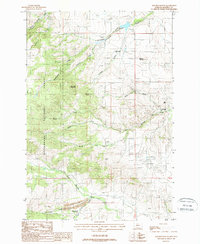
1987 Map of Maltbys Mound
USGS Topo · Published 1988About this map
Mining operations and rugged peaks define this area of Madison County during the late 1980s. The landscape is dominated by the steep eastern front of the Beaverhead National Forest, where prominent summits like Sugarloaf Mountain and Wallace Peak rise above a complex network of drainage basins. The map reveals a dense concentration of mineral extraction sites concentrated along the gulches, including the Revenue Mine, Galena Mine, and Billy Mine. These sites, along with the Washington Bar Placer Mine on North Meadow Creek, reflect a persistent legacy of both lode and placer mining in the region.
Find a feature on this map
24 named features on this map. Tap any name to fly to it.
Don’t see what you’re looking for? This feature index may not catch every label — zoom into the map to look around manually.
Map Details
Editions of this 1987 Maltbys Mound Map
This is the sole edition of this map. No revisions or reprints were ever made.
Other maps of this area

1888 · Three Forks
USGS Topo · 1:250,000

1894 · Three Forks
USGS Topo · 1:250,000

1895 · Three Forks
USGS Topo · 1:250,000

1947 · Bozeman
USGS Topo · 1:250,000

1948 · Bozeman
USGS Topo · 1:250,000

1949 · Ennis
USGS Topo · 1:62,500

1949 · Norris
USGS Topo · 1:62,500

1950 · Harrison
USGS Topo · 1:62,500

1950 · Virginia City
USGS Topo · 1:62,500

1951 · Norris
USGS Topo · 1:62,500