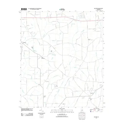
2011 Map of Malvern
USGS Topo · Published 2011About this map
The Malvern Post Office anchors the southeastern corner of this corner of Houston County, set within a landscape shaped by rural crossroads and the winding tributaries of the Choctawhatchee River system. Settlement patterns center on distinct communities like Wicksburg and Bailey Crossroads, where a dense network of county roads connects family homesteads and local institutions. Water management is a defining characteristic of the terrain, evidenced by several private impoundments including the Emmett Sellers Dam and Pasco Davis Dam, which harness local branches like Gilley Mill Creek and Bear Creek. For those tracing local history, several burial grounds are scattered throughout the region, including Union Cemetery, Bay Springs Cemetery, and Purvis Cemetery. The map captures the transition of the area toward modern residential development while maintaining its established agricultural and hydrological footprint.
Find a feature on this map
106 named features on this map. Tap any name to fly to it.
Don’t see what you’re looking for? This feature index may not catch every label — zoom into the map to look around manually.
Map Details
Editions of this 2011 Malvern Map
This is the sole edition of this map. No revisions or reprints were ever made.
Other maps of this area

1942 · Enterprise
USGS Topo · 1:125,000

1948 · Ozark
USGS Topo · 1:62,500

1950 · Ozark
USGS Topo · 1:62,500

1953 · Dothan
USGS Topo · 1:250,000

1954 · Dothan
USGS Topo · 1:250,000

1955 · Dothan
USGS Topo · 1:250,000

1957 · Malvern
USGS Topo · 1:24,000

1957 · Hartford
USGS Topo · 1:62,500
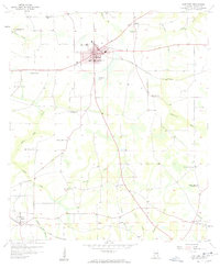
1957 · Hartford
USGS Topo · 1:24,000
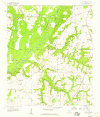
1957 · Clayhatchee
USGS Topo · 1:24,000