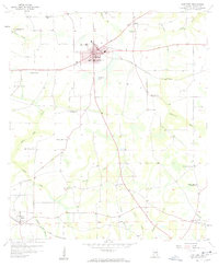
1957 Map of Hartford
USGS Topo · Published 1958About this map
The agricultural landscape of Geneva County is anchored here by the hub of Hartford, where the grid of city streets meets the Louisville and Nashville railroad. This late-1950s survey reflects a community defined by its rural institutions, with numerous country churches such as St Paul Ch and Shiloh Ch distributed across the landscape. The infrastructure of the era is evident in the presence of the Pondtown Lookout Tower and the local center of government at City Hall.
Find a feature on this map
42 named features on this map. Tap any name to fly to it.
Don’t see what you’re looking for? This feature index may not catch every label — zoom into the map to look around manually.
Map Details
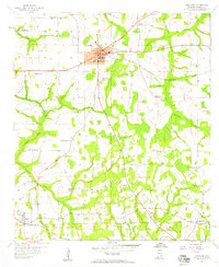
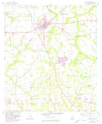
Editions of this 1957 Hartford Map
3 editions found
Other maps of this area

1942 · Enterprise
USGS Topo · 1:125,000

1950 · Izagora
USGS Topo · 1:24,000

1950 · Esto
USGS Topo · 1:24,000

1951 · Graceville
USGS Topo · 1:24,000

1951 · Esto
USGS Topo · 1:24,000

1953 · Dothan
USGS Topo · 1:250,000

1954 · Dothan
USGS Topo · 1:250,000

1954 · Tallahassee
USGS Topo · 1:250,000

1955 · Dothan
USGS Topo · 1:250,000

1957 · Malvern
USGS Topo · 1:24,000