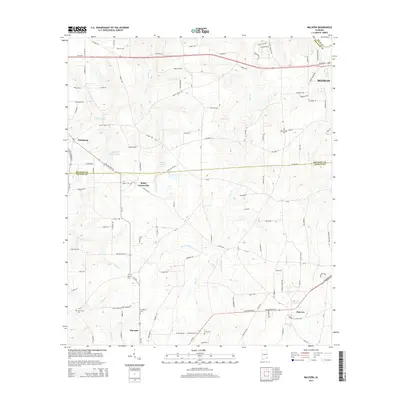
2014 Map of Malvern
USGS Topo · Published 2014About this map
Malvern and the outskirts of Dothan anchor this corner of southeast Alabama, where the boundaries of Dale, Geneva, and Houston counties meet. The landscape is defined by a dense network of local roads and creek drainages that supported a longstanding agricultural and rural residential community. Water features such as Panther Creek, Bear Creek, and Newton Creek carve through the terrain, while man-made landmarks like Emmett Sellers Lake and Hosea Mathis Lake dot the central portion of the quadrangle.
Find a feature on this map
128 named features on this map. Tap any name to fly to it.
Don’t see what you’re looking for? This feature index may not catch every label — zoom into the map to look around manually.
Map Details
Editions of this 2014 Malvern Map
This is the sole edition of this map. No revisions or reprints were ever made.
Other maps of this area

1942 · Enterprise
USGS Topo · 1:125,000

1948 · Ozark
USGS Topo · 1:62,500

1950 · Ozark
USGS Topo · 1:62,500

1953 · Dothan
USGS Topo · 1:250,000

1954 · Dothan
USGS Topo · 1:250,000

1955 · Dothan
USGS Topo · 1:250,000

1957 · Malvern
USGS Topo · 1:24,000

1957 · Hartford
USGS Topo · 1:62,500
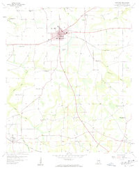
1957 · Hartford
USGS Topo · 1:24,000
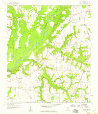
1957 · Clayhatchee
USGS Topo · 1:24,000