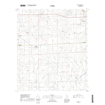
2018 Map of Malvern
USGS Topo · Published 2018About this map
Malvern and Slocomb anchor the southern reaches of this landscape where the borders of Houston and Geneva counties converge. The terrain is defined by a dense network of creek branches, including Gilley Mill Cr, Panther Cr, and Buzzard Bay Br, which carve through the agricultural fields of the Wiregrass region. For those researching local family history, several burial sites are documented across the rural landscape, such as Bay Springs Cem and Union Cem. The settlement at Bailey Crossroads and the northwestern community of Wicksburg illustrate the established road network connecting these farming communities. This survey provides a precise view of the rural infrastructure near the western edge of Dothan, showing the transition from municipal outskirts to the dispersed farmsteads and rural churches that characterize southeastern Alabama.
Find a feature on this map
129 named features on this map. Tap any name to fly to it.
Don’t see what you’re looking for? This feature index may not catch every label — zoom into the map to look around manually.
Map Details
Editions of this 2018 Malvern Map
This is the sole edition of this map. No revisions or reprints were ever made.
Other maps of this area

1942 · Enterprise
USGS Topo · 1:125,000

1948 · Ozark
USGS Topo · 1:62,500

1950 · Ozark
USGS Topo · 1:62,500

1953 · Dothan
USGS Topo · 1:250,000

1954 · Dothan
USGS Topo · 1:250,000

1955 · Dothan
USGS Topo · 1:250,000

1957 · Malvern
USGS Topo · 1:24,000

1957 · Hartford
USGS Topo · 1:62,500
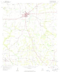
1957 · Hartford
USGS Topo · 1:24,000
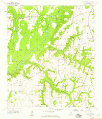
1957 · Clayhatchee
USGS Topo · 1:24,000