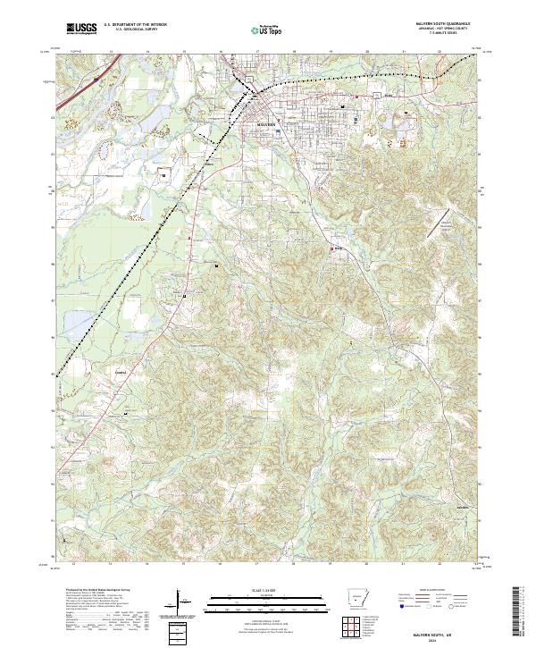
2024 Map of Malvern South
USGS Topo · Published 2024About this map
Malvern serves as the focal point for this survey of Hot Spring County, anchored by the Hot Spring County Courthouse and a transportation network defined by the Union Pacific railroad. The landscape transitions from the urbanized center near Town Creek and the Ouachita River to rural developments like Perla and Abco. This geography is shaped by numerous smaller watercourses such as Greasy Creek and Tenmile Creek, which are surrounded by residential expansions named Royal Oaks and Rolling Oaks.
Find a feature on this map
138 named features on this map. Tap any name to fly to it.
Don’t see what you’re looking for? This feature index may not catch every label — zoom into the map to look around manually.
Map Details
Editions of this 2024 Malvern South Map
This is the sole edition of this map. No revisions or reprints were ever made.
Other maps of this area

1948 · Malvern
USGS Topo · 1:62,500

1949 · Malvern
USGS Topo · 1:62,500

1955 · Little Rock
USGS Topo · 1:250,000

1956 · Little Rock
USGS Topo · 1:250,000

1960 · Little Rock
USGS Topo · 1:250,000

1963 · Traskwood
USGS Topo · 1:24,000

1964 · Poyen
USGS Topo · 1:24,000

1964 · Little Rock
USGS Topo · 1:250,000

1964 · Donaldson
USGS Topo · 1:24,000

1965 · Round Hill
USGS Topo · 1:24,000