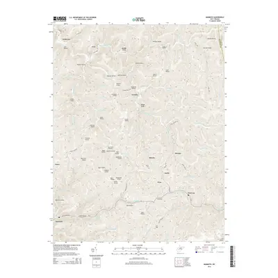
2014 Map of Mammoth
USGS Topo · Published 2014About this map
Kellys Cr and its many tributaries carve a dense network of hollows through this portion of Kanawha County, defining a landscape where settlements are strictly confined to the narrow valley floors. Small communities like Mammoth, Pond Gap, and Blakeley are connected by winding routes such as Kellys Creek Rd, following the natural contours of the drainage system. The map reveals the intricate local geography of the region's coal country, documented by numerous named drainages like Hurricane Fork and Fivemile Fork.
Find a feature on this map
71 named features on this map. Tap any name to fly to it.
Don’t see what you’re looking for? This feature index may not catch every label — zoom into the map to look around manually.
Map Details
Editions of this 2014 Mammoth Map
This is the sole edition of this map. No revisions or reprints were ever made.
Other maps of this area

1897 · Kanawha Falls
USGS Topo · 1:125,000

1900 · Kanawha Falls
USGS Topo · 1:125,000

1901 · Kanawha Falls
USGS Topo · 1:125,000

1907 · Clendenin
USGS Topo · 1:62,500

1908 · Clay
USGS Topo · 1:48,000

1908 · Fayetteville
USGS Topo · 1:48,000

1908 · Montgomery
USGS Topo · 1:48,000

1909 · Clendenin
USGS Topo · 1:62,500

1910 · Clay
USGS Topo · 1:62,500

1910 · Fayetteville
USGS Topo · 1:62,500