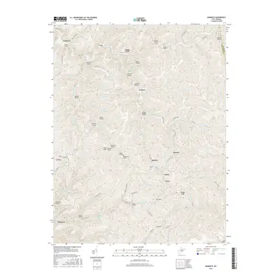
2016 Map of Mammoth
USGS Topo · Published 2016About this map
Blue Creek and its many winding tributaries, including Rockcamp Fork and Middle Fork Blue Cr, define the drainage patterns of this corner of the West Virginia coalfields. The landscape is characterized by a dense network of hollows often named for local families or landmarks, such as Belcher Hollow, McBride Hollow, and Jim Hollow. These deep valleys have historically dictated the placement of small communities and the winding roads that connect them.
Find a feature on this map
89 named features on this map. Tap any name to fly to it.
Don’t see what you’re looking for? This feature index may not catch every label — zoom into the map to look around manually.
Map Details
Editions of this 2016 Mammoth Map
This is the sole edition of this map. No revisions or reprints were ever made.
Other maps of this area

1897 · Kanawha Falls
USGS Topo · 1:125,000

1900 · Kanawha Falls
USGS Topo · 1:125,000

1901 · Kanawha Falls
USGS Topo · 1:125,000

1907 · Clendenin
USGS Topo · 1:62,500

1908 · Clay
USGS Topo · 1:48,000

1908 · Fayetteville
USGS Topo · 1:48,000

1908 · Montgomery
USGS Topo · 1:48,000

1909 · Clendenin
USGS Topo · 1:62,500

1910 · Clay
USGS Topo · 1:62,500

1910 · Fayetteville
USGS Topo · 1:62,500