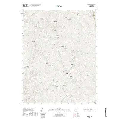
2019 Map of Mammoth
USGS Topo · Published 2019About this map
Mammoth and the surrounding hollows of Kanawha County are defined by a complex network of creeks and ridge-top roads in this recent survey. The landscape is marked by small settlements often situated at the confluence of drainages, such as Spangler and Blakeley. The central portion of the map is dominated by Pond Fork and Blue Creek, which carve deep valleys between high ridges like Dutch Ridge.
Find a feature on this map
90 named features on this map. Tap any name to fly to it.
Don’t see what you’re looking for? This feature index may not catch every label — zoom into the map to look around manually.
Map Details
Editions of this 2019 Mammoth Map
This is the sole edition of this map. No revisions or reprints were ever made.
Other maps of this area

1897 · Kanawha Falls
USGS Topo · 1:125,000

1900 · Kanawha Falls
USGS Topo · 1:125,000

1901 · Kanawha Falls
USGS Topo · 1:125,000

1907 · Clendenin
USGS Topo · 1:62,500

1908 · Clay
USGS Topo · 1:48,000

1908 · Fayetteville
USGS Topo · 1:48,000

1908 · Montgomery
USGS Topo · 1:48,000

1909 · Clendenin
USGS Topo · 1:62,500

1910 · Clay
USGS Topo · 1:62,500

1910 · Fayetteville
USGS Topo · 1:62,500