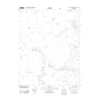
2012 Map of Mammoth Mountain
USGS Topo · Published 2012About this map
Mammoth Mountain and the surrounding Sierra Nevada peaks dominate this 2012 survey, which documents the extensive recreation infrastructure of the eastern Sierra. The map details a dense network of high-altitude destinations, from the Mammoth Mountain Main Lodge to the northern reaches of June Mountain. A distinct pattern of seasonal activity is evident in the concentration of campgrounds such as Agnew Meadows Campground and Soda Springs Campground, as well as numerous access points like the John Muir Trail North Trailhead.
Find a feature on this map
64 named features on this map. Tap any name to fly to it.
Don’t see what you’re looking for? This feature index may not catch every label — zoom into the map to look around manually.
Map Details
Editions of this 2012 Mammoth Mountain Map
This is the sole edition of this map. No revisions or reprints were ever made.
Other maps of this area

1901 · Mt. Lyell
USGS Topo · 1:125,000

1914 · Mt. Morrison
USGS Topo · 1:125,000

1947 · Mariposa
USGS Topo · 1:250,000

1948 · Mariposa
USGS Topo · 1:250,000

1953 · Mt. Morrison
USGS Topo · 1:62,500

1953 · Mono Craters
USGS Topo · 1:62,500

1953 · Devils Postpile
USGS Topo · 1:62,500

1957 · Mariposa
USGS Topo · 1:250,000

1962 · Cowtrack Mtn
USGS Topo · 1:62,500

1963 · Mariposa
USGS Topo · 1:250,000