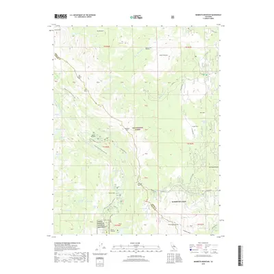
2018 Map of Mammoth Mountain
USGS Topo · Published 2018About this map
Devils Postpile National Monument anchors the southwestern portion of this High Sierra landscape, protecting the distinct columnar basalt formation of the Devils Postpile. The terrain is defined by the high peaks of the Sierra Nevada, including Mammoth Mountain and San Joaquin Mountain, with the Middle Fork San Joaquin River carving a deep drainage through the center. The Pacific Crest National Scenic Trail traverses the western ridges, passing through alpine meadows and by high-elevation water bodies like Rosalie Lake and Shadow Creek.
Find a feature on this map
75 named features on this map. Tap any name to fly to it.
Don’t see what you’re looking for? This feature index may not catch every label — zoom into the map to look around manually.
Map Details
Editions of this 2018 Mammoth Mountain Map
This is the sole edition of this map. No revisions or reprints were ever made.
Other maps of this area

1901 · Mt. Lyell
USGS Topo · 1:125,000

1914 · Mt. Morrison
USGS Topo · 1:125,000

1947 · Mariposa
USGS Topo · 1:250,000

1948 · Mariposa
USGS Topo · 1:250,000

1953 · Mt. Morrison
USGS Topo · 1:62,500

1953 · Mono Craters
USGS Topo · 1:62,500

1953 · Devils Postpile
USGS Topo · 1:62,500

1957 · Mariposa
USGS Topo · 1:250,000

1962 · Cowtrack Mtn
USGS Topo · 1:62,500

1963 · Mariposa
USGS Topo · 1:250,000