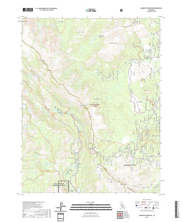
2021 Map of Mammoth Mountain
USGS Topo · Published 2021About this map
Mammoth Lakes serves as the eastern gateway to this dramatic section of the Sierra Nevada, where the high peaks of the Mono and Madera county line meet the volcanic landscapes of the Eastern Sierra. The map details the complex geological and hydrological systems of the region, including the headwaters of the Middle Fork San Joaquin River and the protected Owens River Headwaters Wild and Scenic River. Centrally located, Minaret Summit marks the transition from the resort-focused slopes of Mammoth Mtn to the protected wilderness areas of the Inyo National Forest.
Find a feature on this map
80 named features on this map. Tap any name to fly to it.
Don’t see what you’re looking for? This feature index may not catch every label — zoom into the map to look around manually.
Map Details
Editions of this 2021 Mammoth Mountain Map
This is the sole edition of this map. No revisions or reprints were ever made.
Other maps of this area

1901 · Mt. Lyell
USGS Topo · 1:125,000

1914 · Mt. Morrison
USGS Topo · 1:125,000

1947 · Mariposa
USGS Topo · 1:250,000

1948 · Mariposa
USGS Topo · 1:250,000

1953 · Mt. Morrison
USGS Topo · 1:62,500

1953 · Mono Craters
USGS Topo · 1:62,500

1953 · Devils Postpile
USGS Topo · 1:62,500

1957 · Mariposa
USGS Topo · 1:250,000

1962 · Cowtrack Mtn
USGS Topo · 1:62,500

1963 · Mariposa
USGS Topo · 1:250,000