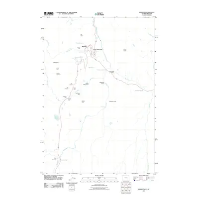
2011 Map of Mammoth
USGS Topo · Published 2011About this map
Mammoth serves as the focal point of this 2011 survey, situated amidst a landscape of thermal activity and dramatic geology. The map details the complex terrain around Mammoth Hot Springs, where Highland Spring and the Boiling River reflect the geothermal character of the region. Notable landmarks such as Liberty Cap and Capitol Hill stand near the settlement, while the Gardner River carves through the eastern portion of the quadrangle.
Find a feature on this map
38 named features on this map. Tap any name to fly to it.
Don’t see what you’re looking for? This feature index may not catch every label — zoom into the map to look around manually.
Map Details
Editions of this 2011 Mammoth Map
This is the sole edition of this map. No revisions or reprints were ever made.
Other maps of this area

1885 · Gallatin
USGS Topo · 1:125,000

1885 · Gallatin
USGS Topo · 1:125,000

1891 · Livingston
USGS Topo · 1:250,000

1893 · Livingston
USGS Topo · 1:250,000

1901 · Gallatin
USGS Topo · 1:125,000

1908 · Gallatin
USGS Topo · 1:125,000

1911 · Gallatin
USGS Topo · 1:125,000

1947 · Bozeman
USGS Topo · 1:250,000

1948 · Bozeman
USGS Topo · 1:250,000

1955 · Bozeman
USGS Topo · 1:250,000